The company plans to employ the drones as sensors for current transportation monitoring systems and integrate them into its transportation control solution Mova Traffic. It will also develop tools to analyse video and images taken by drones in a bid to detect incidents automatically.
Additionally, the company will incorporate its drones with a transportation control centre, which will process real-time image and video transmissions of vehicles, validating the artificial intelligence (AI) and deep learning algorithms. Guidance systems will also be incorporated with the control centre to operate the drone while it is flying above the roads.
The project will also set out to develop trajectory planning algorithms, safety monitoring, obstacle avoidance, geo-fencing to establish virtual boundaries in a given geographical area.
As part of this, Indra will develop communication modules using 4G technology to ensure the secure exchange of information between the control centre and drones.
To begin with, the drones will operate and detect incidents at the Rozas aerodrome, HQ of the Civil Unmanned Aerial Vehicle (UAV) Initiative,
Indra will use a range of drones including its USV Vessel and a civil use version of the Mantis fixed-wing drone. The company also plans to develop applications based on the use of drones and AI, which it says will allow them to offer advanced transportation services.
These projects are part of the Comp4Drones initiative, in which Indra works with 49 partners such as France and the Netherlands to develop hardware and software to ensure drones are safe for transport applications.
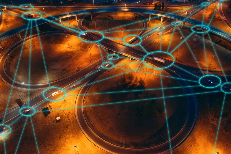
Indra drones to manage road traffic in Spain
Indra is to use drones to monitor road traffic and detect incidents in Lugo, Spain.
The company plans to employ the drones as sensors for current transportation monitoring systems and integrate them into its transportation control solution Mova Traffic. It will also develop tools to analyse video and images taken by drones in a bid to detect incidents automatically.
Additionally, the company will incorporate its drones with a transportation control centre, which will process real-time image and video tra