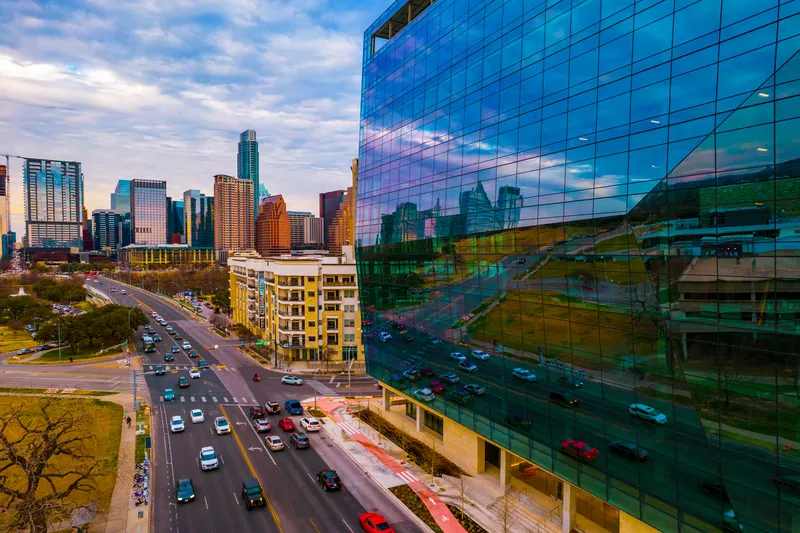
The city of Noida in India is set to use drone cameras for traffic surveillance, says the Times of India. The drones will begin to fly over sectors and highways in Noida within the next two months, providing real-time visuals of traffic flow for improved management. Traffic department officers said the drones will be used for surveillance, data collection, and traffic management.
Apart from cameras, the drones will have different sensors attached that will give live updates on traffic jams and accidents.
September 11, 2015
Read time: 1 min
The city of Noida in India is set to use drone cameras for traffic surveillance, says the Times of India. The drones will begin to fly over sectors and highways in Noida within the next two months, providing real-time visuals of traffic flow for improved management. Traffic department officers said the drones will be used for surveillance, data collection, and traffic management.
Apart from cameras, the drones will have different sensors attached that will give live updates on traffic jams and accidents. The drone camera will be fitted with geo-positioning sensors and communication hardware to relay data in real time.
Officials said the information would quicken the response mechanism and help in providing commuters with information to avoiding congestion and traffic jams. The visuals will also hasten emergency services in the event of accidents.


