As part of the initiative, Highways England hosted a week-long Testfest event in Chatham, Kent, this week, showing how test vehicles receive information on road conditions, road works and the time left for traffic lights to change to green via a wireless network.
Jo White, head of Highways England’s intelligent transport systems group, says: “We are looking at ITS G5, a short-range Wi-Fi technology, and cellular technology, and are interested in how they deliver information to the vehicle.”
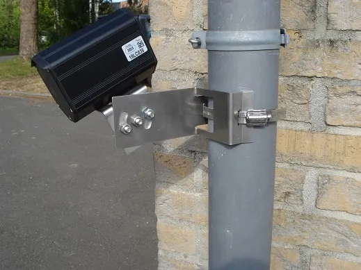
As part of Testfest, ITS International travelled in a trial run of a specially-equipped people carrier along a section of the M2, which demonstrated how information is received by the onboard unit and displayed as icons on a screen behind the wheel.
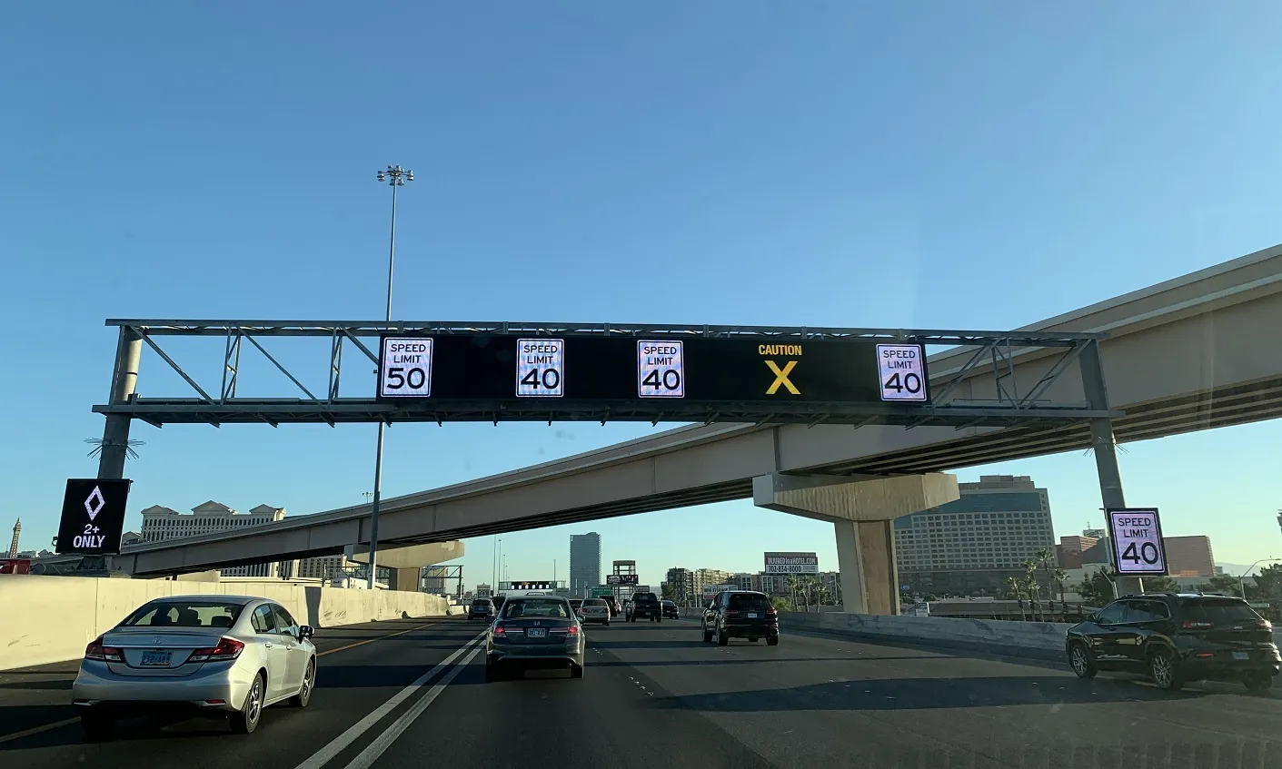
For example, 60mph icons serve as a consistent reminder of the correct speed limit, while roadworks warnings can be followed by lane divert messages.
Highways England says the screens can help reduce the probability of drivers missing information displayed on roadside signs. It also provides drivers and fleet managers with information to make real-time decisions could potentially improve traffic flow along the corridor.
White believes the speed limit information could provide Highways England with more flexibility of where and when to sign information, potentially freeing it from dependence on physical infrastructure in the future.
The M2 demonstration included a simulated border in which the driver received information between two areas labelled Country A and Country B.
White says drivers can receive information from their ‘home country’ and then pass over the border and continue to receive relevant journey data. This is achieved using the driver’s existing service provider to transmit the data from the country to the in-vehicle device.
Other partners involved in the project include the
The project is scheduled to be complete in 2019.
Highways England showcases progress on high tech corridor project
Highways England is leading a project to establish a high tech corridor on the A2/M2 in Kent which will allow specially-equipped vehicles to interact with roadside infrastructure.
As part of the initiative, Highways England hosted a week-long Testfest event in Chatham, Kent, this week, showing how test vehicles receive information on road conditions, road works and the time left for traffic lights to change to green via a wireless network.
Jo White, head of Highways England’s intelligent transport system