Highways England awards NRTS contract to Telent Technology services

Highways England (HE) has awarded the second National Roads Telecommunications Service (NRTS) contract, valued £450m ($602m), to Telent Technology Services. The project aims to keep road users as safe and informed as possible on the UK's motorways and will run for seven years from March 2018. In addition, this technology will also continue to support the smart motorway and expressway programmes.
December 19, 2017 Read time: 2 mins
8101 Highways England (HE) has awarded the second National Roads Telecommunications Service (NRTS) contract, valued £450m ($602m), to 525 Telent Technology Services. The project aims to keep road users as safe and informed as possible on the UK's motorways and will run for seven years from March 2018. In addition, this technology will also continue to support the smart motorway and expressway programmes.


The new service will renew equipment and provide an open, flexible and scalable telecommunications network to meet the future needs of the business as well as support HE in the development of connected vehicles and 5G.

NRTS connects HE's seven regional control centres, the national traffic operations centre and the 30,000 roadside technology assets including message signs, CCTV cameras and emergency roadside telephones.

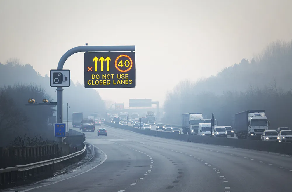
These items include 3,327 CCTV cameras, 3,774 message signs, 229 weather stations and 7,155 SOS phones. The network enables traffic information services to provide accurate, real-time travel information to drivers and travel news providers. The message signs help warn drivers of potential hazards and display real-time journey information.

Tony Malone, chief information officer at HE, said: “Safety is at the heart of everything we do and this network, the central nervous system for England’s motorways, enables us to operate safe roads. We are pleased to be working with Telent Technology Services to deliver the reliability, resilience and innovation that will enable us to keep drivers safe and informed on our roads.”

For more information on companies in this article

Related Content

  • UK driver information improvements near completion
    March 27, 2015
    A major investment in technology to help tackle congestion and give better information to drivers across parts of the UK’s north west will be completed by the Highways Agency by the end of the month. Improvements worth more than US$8.5 million, with extended CCTV coverage of the region’s motorways and new electronic variable message signs (VMS), are being delivered by the Highways Agency as part of the Government’ US$470 million pinch point programme. Work on installing new electronic signs and CCTV c
  • Social media a one-stop shop for travel information
    January 20, 2012
    Exponentially widening mobile phone ownership is opening up the field to new ways of obtaining and disseminating better travel information from and to public transport users, via for example social media and tracking riders' phones. Over 50 US transit agencies, including major actors such as TriMet, in the metropolitan area of Portland, Oregon, Dallas Area Rapid Transit in Texas, and San Francisco's Bay Area Rapid Transit District (BART), as well as smaller operators, now have Facebook and/or Twitter accoun
  • How safe are smart motorways?
    March 3, 2020
    A valiant attempt to ease the UK’s congested strategic road system? Or an idea that should never have seen the light of day? Alan Dron reports on the controversy over smart motorways...
  • Cellint measures speed and travel time without roadside infrastructure
    April 10, 2014
    Collecting speed and travel time data without using roadside infrastructure could offer new possibilities to cash-strapped road authorities. Streaming video may be useful for traffic controllers to monitor incidents and automatic number plate recognition may be required for enforcement, but neither are necessary for many ITS functions. For instance travel times, tailbacks, percentage of vehicles turning, origin and destination analysis can all be done using Bluetooth and/or WI-Fi sensors and without video o