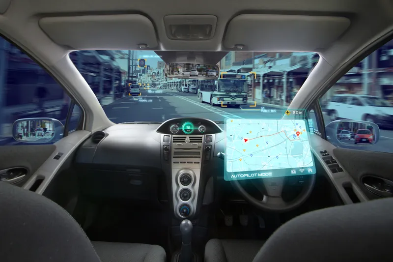
Here unveils Live Sense road hazard SDK

Here Technologies has released a software development kit (SDK) which it says provides real-time insights on driving conditions and upcoming obstacles without the need for connectivity. Here claims its Live Sense SDK uses artificial intelligence and machine learning to turn front-facing cameras such as smartphones and dashcams into vehicle sensors which can detect other vehicles, pedestrians or cyclists, potholes and road closures. Live Sense then provides information through audio and visual notificati
October 14, 2019 Read time: 2 mins

7643 Here Technologies has released a software development kit (SDK) which it says provides real-time insights on driving conditions and upcoming obstacles without the need for connectivity.

Here claims its Live Sense SDK uses artificial intelligence and machine learning to turn front-facing cameras such as smartphones and dashcams into vehicle sensors which can detect other vehicles, pedestrians or cyclists, potholes and road closures.

Live Sense then provides information through audio and visual notifications to help the driver take appropriate action. It can also keep drivers informed of a change in speed limit, the company adds.

Here’s chief operating officer Angel Mendez says: “Today there are still millions of commercial and passenger cars on the roads without the necessary technology to keep drivers informed about potential hazards. The Here Live Sense SDK will help to change that.”

The solution is available to automotive OEMs, fleet and ride-hailing operators and app developers in beta for Android devices. An iOS version will be released soon.

For more information on companies in this article

Related Content

  • When traffic data can get it totally wrong
    November 30, 2021
    How can a highway devoid of traffic provide data suggesting it is filled with vehicles crawling along? Michael Vardi of Valerann provides an insight into how data can easily be skewed - and what can be done to prevent it
  • VW uses Microsoft's Azure for ADAS
    February 16, 2021
    Software giant's platform expected to help reduce development cycles from months to weeks
  • Airborne traffic monitoring - the future?
    March 1, 2013
    A new frontier in the quest to monitor road traffic is opening up… but using airborne drones to reduce the jams comes with some thorny issues. Chris Tindall reports. Imagine if you could rely on a system that provided all the data you needed to regulate traffic flow, route vehicles and respond swiftly to emergencies for a fraction of the cost of piloting a helicopter. That system exists, but as engineers and traffic managers start to explore the potential of unmanned aerial vehicles (UAVs) – more commonly k
  • Here launches cloud service for management of location data
    October 12, 2018
    Here Technologies says its cloud management service will make it easier for developers and map makers to manage location data. The Here XYZ, available in Beta, provides map makers and developers of location-aware applications with access to uploaded data, rendering tools and cloud services to share their locations, the company adds. The solution allows developers to access the XYZ Hub API where they can upload location datasets and edit them via the Command Line Interface. ‘Casual’ mappers can also use