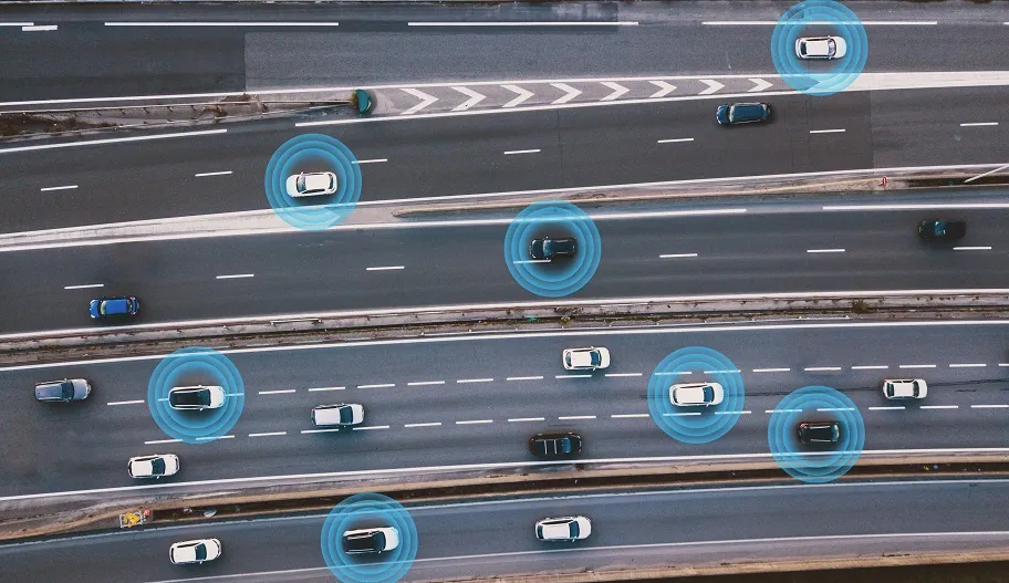
Here says the Lane Hazard Warning platform enables an event detected by a vehicle’s sensors – such as a slow car or pothole – to be localised to a specific lane. This information can then be transmitted in real time via the cloud to other vehicles approaching the same area, the company adds.
Hiroshi Onishi, executive officer of automotive equipment at Mitsubishi Electric, says: “We've developed a new system designed to give drivers a few valuable extra seconds or minutes to prepare for a potential danger on the road ahead, such as by switching lanes or simply driving with greater caution.”
Lane Hazard Warning utilises a vehicle's sensors together with HD Locator, Mitsubishi Electric’s precise centimetre-level positioning technology, and the Here Open Location Platform, a big location data solution.
As part of the deal, the companies are also evaluating the application of the technology in automated updates of maps for autonomous vehicles using the cloud as well as in a service that alerts cities and road maintenance authorities to road surface degradation.
Jørgen Behrens, head of applications and services at Here, says: "We believe fast, accurate and targeted hazard alerts will be a critical part of the data infrastructure required for automated driving and smart city services.”
The partners now intend to make the technology available broadly to automakers for them to test in their vehicles.
Here and Mitsubishi unveil road hazard alert system
Here Technologies has piloted a system with Mitsubishi Electric which it claims can enable vehicles to automatically warn others about upcoming road hazards with lane-level precision
Here says the Lane Hazard Warning platform enables an event detected by a vehicle’s sensors – such as a slow car or pothole – to be localised to a specific lane. This information can then be transmitted in real time via the cloud to other vehicles approaching the same area, the company adds.
Hiroshi Onishi, executive office