
Hawai'i Uni to improve Honolulu traffic corridor

Students will spend four years analysing opportunities for C/AV technologies
By Ben Spencer August 10, 2020 Read time: 2 mins
A signal device at the intersection of Atkinson Drive and Ala Moana Park Drive (image credit: University of Hawaiʻi)

The University of Hawaiʻi (UH) at Mānoa College of Engineering is leading a collaboration to upgrade a traffic signal control system in the city of Honolulu.

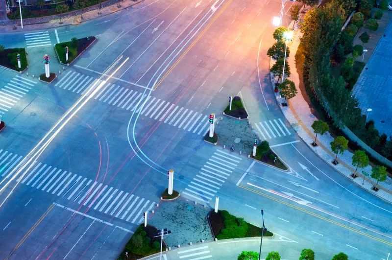
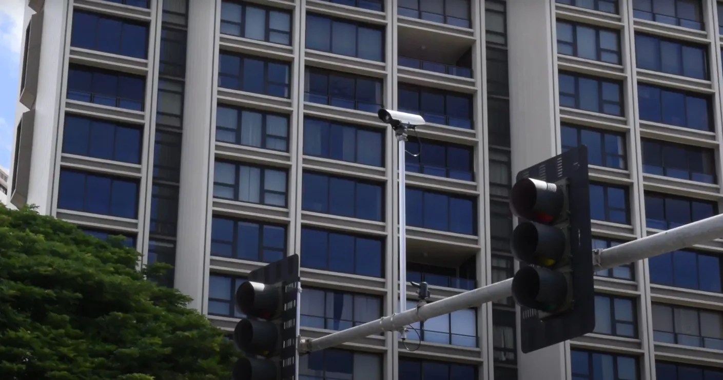
The system will utilise Vehicle to Everything (V2X) technology and include signal devices installed at more than 30 intersections along Nimitz Highway and Ala Moana Boulevard.

Researchers will collect data on the amount and type of vehicles moving through the area so that the public can receive alerts and information on potential impacts along the corridor via the TravelSafely app. 

Professor David Ma of Mānoa College says university students and faculty will conduct research on sensor data analytics to help the system operate at full potential.

“Not only will this project create a smart transportation corridor in the heart of downtown Honolulu, it also serves to show the state UH’s commitment both to high-tech applications and to a safer, more efficient transportation system for Hawaiʻi,” Ma adds. 

The project stems from an agreement with Econolite, the State Hawai’i Department of Transportation (HDoT) and the Federal Highway Administration.

Econolite has provided all hardware and software upgrades for the system, as well as making a donation to help UH develop an advanced traffic engineering lab.

It will include advanced traffic control, management and detection devices as well as a modern video wall for data visualisation. 

According to Ma: “The lab will become a mini traffic management centre that enables UH researchers to analyse traffic data in real-time and help HDoT staff make necessary adjustments to optimise the performance of the traffic system.”

Guohui Zhang, a civil engineering associate professor in transportation engineering, says students at the lab will have “hands-on experience” with traffic technology and will be better trained as future traffic engineers. 

For more information on companies in this article

Related Content

  • Bridging the highway travel information gap
    March 14, 2012
    A new traffic management solution is attempting to bridge the gap in information available on freeways and arterial roadways. Andrew Bardin Williams reports. Agencies responsible for national networks of roads around the world have the ability to measure, analyse and disseminate accurate travel information to drivers. Millions of dollars go into data collection infrastructure to collect traffic congestion and travel time information on major freeways or highways. For example, a driver on the I-210 in the Lo
  • Adaptive control reduces travel time, cuts congestion
    January 20, 2012
    Situated in San Diego County, California, the growing city of San Marcos has seen its population increase by 53.5 per cent since the turn of the century. Although this dramatic population increase has spurred economic growth bringing new business, homes and opportunities to the city, it has also increased traffic congestion along its central corridor, San Marcos Boulevard. This became the most congested arterial in the city, and, by 2006, the second-most travelled corridor in San Diego County.
  • Video analytics enhances urban rail safety
    December 16, 2016
    David Crawford explores some promising innovations for North American commuters. North America is experiencing a surge in commuter rail and metro development. The US now has 75 light rail and metro networks in operation; and California, in particular, is actively exploring ways of developing the state’s existing passenger rail operations into a fully integrated system.
  • Lyt greenlights Fremont first responders
    February 25, 2022
    Solution to prioritise emergency vehicles at eight signals along California smart corridor