GPS technology improves safety for emergency response teams

Emergency response teams in the densely populated town of Brookhaven, New York, respond to more than 5,000 emergency calls every month. To enable fire-fighters and emergency services to meet the demand, town officials made the decision to upgrade to Opticom GPS priority control technology on more 500 fire trucks and at almost as many intersections. Opticom GPS uses a global network of GPS satellites to calculate vehicle speed, direction and precise location to pre-empt signals even around corners or obs
May 16, 2014 Read time: 2 mins

Emergency response teams in the densely populated town of Brookhaven, New York, respond to more than 5,000 emergency calls every month. To enable fire-fighters and emergency services to meet the demand, town officials made the decision to upgrade to Opticom GPS priority control technology on more 500 fire trucks and at almost as many intersections.

Opticom GPS uses a global network of GPS satellites to calculate vehicle speed, direction and precise location to pre-empt signals even around corners or obstructed intersections. The recent upgrade also includes Opticom central management software (CMS), which enables the municipality to remotely maintain the priority control system without sending employees out to a location.

Today, every intersection in Brookhaven is equipped with Opticom GPS technology, allowing 42 independent fire districts and 13 ambulance districts to pre-empt traffic signals to reach emergencies faster and with less risk.

“Brookhaven has more roads than any other municipality on Long Island,” said Daniel P. Losquardro, Town of Brookhaven Superintendent of Highways. “It’s imperative for our emergency services to navigate these roads as safely and quickly as possible. When it comes to emergency response, every second counts and Opticom has certainly contributed to improving response time.”

The unique terrain of Long Island creates tight turns and obstructions that limited pre-emption to 300 feet or less at almost 40 percent of the intersections. Too often, first responders had to reduce speeds and navigate around cars to pass through these intersections, creating potentially dangerous situations.

 “The last thing anyone wants is an accident occurring during the response to an emergency,” said Losquardo. “The Opticom GPS system provides a clear path for emergency vehicles, resulting in faster and safer response.”

Related Content

  • Toll performance exceeds expectations, improves travel times
    January 30, 2012
    Jean Harito, Attica Tollway Operations Authority and Steve Morello, Egis Projects describe how looking to exceed contractual obligations makes good operational and business sense. The Attica Tollway is a modern, 65km, access-controlled urban motorway with three lanes in each direction. It constitutes the ring road around the extensive metropolitan area of the Greek capital, Athens, and forms the backbone of the entire road network in the Attica region. By ensuring freeflow operating conditions, the Attica T
  • Bluetooth speed and travel data collection shows cost savings
    February 2, 2012
    Houston TranStar is using Bluetooth sensors to collect speed and travel data in a project which is already demonstrating significant cost savings
  • New traffic light controller is ‘game changer’ says Siemens
    June 6, 2014
    Siemens’ introduced its new Sitraffic sX controller as a ‘game changer’, Colin Sowman finds out why.
  • Tomar confirms emergency vehicles
    April 25, 2024
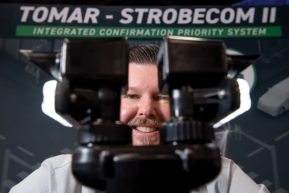
    Making it safer for emergency vehicles to traverse intersections is a priority for Tomar, a signaling, illumination and right-of-way solution provider. The company’s Strobecom II integrated confirmation and priority system gives peace of mind to drivers of emergency vehicles that they are free and clear to travel through an approaching intersection.