GPS technology improves safety for emergency response teams

Emergency response teams in the densely populated town of Brookhaven, New York, respond to more than 5,000 emergency calls every month. To enable fire-fighters and emergency services to meet the demand, town officials made the decision to upgrade to Opticom GPS priority control technology on more 500 fire trucks and at almost as many intersections. Opticom GPS uses a global network of GPS satellites to calculate vehicle speed, direction and precise location to pre-empt signals even around corners or obs
May 16, 2014 Read time: 2 mins

Emergency response teams in the densely populated town of Brookhaven, New York, respond to more than 5,000 emergency calls every month. To enable fire-fighters and emergency services to meet the demand, town officials made the decision to upgrade to Opticom GPS priority control technology on more 500 fire trucks and at almost as many intersections.

Opticom GPS uses a global network of GPS satellites to calculate vehicle speed, direction and precise location to pre-empt signals even around corners or obstructed intersections. The recent upgrade also includes Opticom central management software (CMS), which enables the municipality to remotely maintain the priority control system without sending employees out to a location.

Today, every intersection in Brookhaven is equipped with Opticom GPS technology, allowing 42 independent fire districts and 13 ambulance districts to pre-empt traffic signals to reach emergencies faster and with less risk.

“Brookhaven has more roads than any other municipality on Long Island,” said Daniel P. Losquardro, Town of Brookhaven Superintendent of Highways. “It’s imperative for our emergency services to navigate these roads as safely and quickly as possible. When it comes to emergency response, every second counts and Opticom has certainly contributed to improving response time.”

The unique terrain of Long Island creates tight turns and obstructions that limited pre-emption to 300 feet or less at almost 40 percent of the intersections. Too often, first responders had to reduce speeds and navigate around cars to pass through these intersections, creating potentially dangerous situations.

 “The last thing anyone wants is an accident occurring during the response to an emergency,” said Losquardo. “The Opticom GPS system provides a clear path for emergency vehicles, resulting in faster and safer response.”

Related Content

  • Minnesota DOT deploys GTT’s Canoga to curb intersection vehicle crashes
    September 3, 2014
    Minnesota Department of Transportation (MnDOT) is working toward making the state’s roads safer, using the Canoga traffic sensing solution from Global Traffic Technologies (GTT) to warn at-risk drivers when cross-traffic is approaching. Nearly 70 per cent of fatal vehicle collisions in Minnesota, as well as other states, occur on roads in rural communities, where higher speeds, varying terrain and inconsistent sightlines can put many drivers in danger. The MnDOT initiative is part of the nationwide Towards
  • Haas V2X alerts now available for Škoda
    July 28, 2025
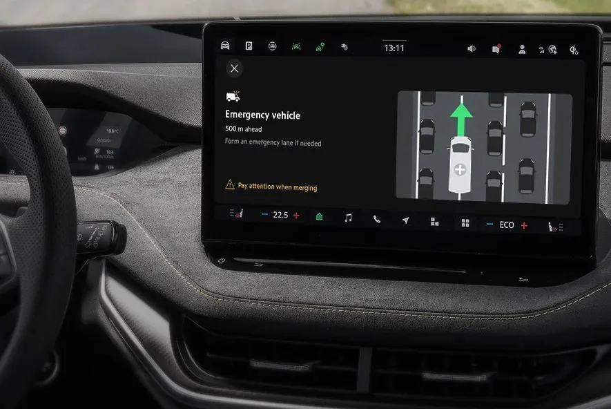
    Emergency vehicle alerts added to Traffication in-vehicle safety app
  • Open road tolling: safer with less congestion
    January 30, 2012
    Michael J. Davis of PBS&J looks at the positive effect that open road tolling can have on safety
  • All-in-one fleet and transit management system ‘improves operations’
    October 9, 2012
    Canada headquartered Mentor Engineering has supplied the city of Fayetteville, North Carolina, USA, with a comprehensive technology solution to improve operations for their fleet of city vehicles, including the Fayetteville Area System of Transit (FAST) and the police and fire departments. The city had a variety of challenges that required resolution; in the event of an emergency, the fire department, as the city’s first responders, wanted to be able to send the next available or closest unit to the scene t