Google updates maps to display natural disasters

Google is improving its SOS alerts by adding visual information about natural disasters and a navigation system on Google Maps. Google says the upgrade will extend the capabilities of the SOS alerts to provide crisis information via relevant news stories and Twitter updates from local authorities to include detailed visualisations about hurricanes, earthquakes and floods. In the days leading up to a hurricane, users will receive a crisis notification card on Google Maps that appears near impacted areas.
July 2, 2019 Read time: 2 mins

1691 Google is improving its SOS alerts by adding visual information about natural disasters and a navigation system on Google Maps.

Google says the upgrade will extend the capabilities of the SOS alerts to provide crisis information via relevant news stories and 2171 Twitter updates from local authorities to include detailed visualisations about hurricanes, earthquakes and floods.

In the days leading up to a hurricane, users will receive a crisis notification card on Google Maps that appears near impacted areas. A forecast cone shows the prediction of the storm’s trajectory along with information about what time it is likely to hit certain areas, the company adds.

The crisis card is also expected to display a visualisation of an earthquake’s magnitude along with colour coding to indicate the intensity of shaking in surrounding areas.

According to Google, users in India will be able to see forecasts of where flooding is likely to occur in addition to the expected severity in different areas.

This summer Google intends to offer another alert which informs people of routes which may be affected by crisis activity.

For more information on companies in this article

Related Content

  • Global toll revenues $8.5bn while technology ‘battles’ continue
    April 9, 2014
    ABI Research’s Dominique Bonte talks to Jason Barnes about trends in tolling and how a wider appreciation of technology options is sorely needed. Global Electronic Toll Collection (ETC) solution revenues will grow to $8.5bn by 2018, with ETC becoming a main source of funding for both Intelligent Transport Systems (ITS) and Vehicle-to-X (V2X) cooperative infrastructures, according to a new report from ABI Research (Chart 1). But, says the report’s author, ABI Research vice president and practice director Dom
  • Conscience versus convenience
    June 8, 2015
    David Crawford looks at new ways forward for public transport. By 2025, nearly 60% of the world’s population will be living in towns and cities, increasing their extent and density, and the journeys that people make within and between them. In response, the International Association of Public Transport (UITP) wants to see public transport’s global modal share doubling (PTx2) by the same date. “Success in 2025,” a spokesperson told ITS International, “will save 170 million tonnes of oil equivalent and 550
  • Ukraine: how ITS works in a war zone
    November 28, 2023
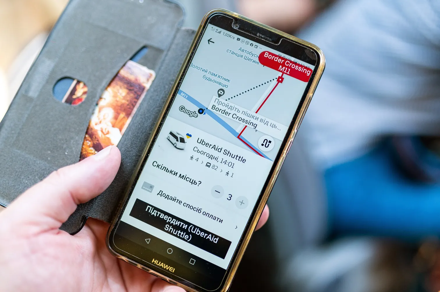
    Russia’s invasion of Ukraine has cost thousands of lives and devastated much of the country. Ertico – ITS Europe hosted a webinar in which some key players in Ukraine’s ITS community – Kyiv Digital, TomTom and Uber - shared their extraordinary stories. Adam Hill listened in…
  • ITO World maps Hyperloop route from Chicago to Cleveland
    February 28, 2018
    London-based mobility data experts Ito World has mapped Hyperloop Transportation Technologies’ (HTTs’) route from Cleveland to Chicago to help the company promote its technology as a solution to tackle congestion and pollution. The route could transport 54, 720 people a day and reduce travel time from 5.5 hours by car to a 28-minute journey. HTT choose Ito World as one of its partners to help outline the socio-economic benefits of the interstate route. The visualisation was presented at HTT’s civic event