Google updates maps to display natural disasters

Google is improving its SOS alerts by adding visual information about natural disasters and a navigation system on Google Maps. Google says the upgrade will extend the capabilities of the SOS alerts to provide crisis information via relevant news stories and Twitter updates from local authorities to include detailed visualisations about hurricanes, earthquakes and floods. In the days leading up to a hurricane, users will receive a crisis notification card on Google Maps that appears near impacted areas.
July 2, 2019 Read time: 2 mins

1691 Google is improving its SOS alerts by adding visual information about natural disasters and a navigation system on Google Maps.

Google says the upgrade will extend the capabilities of the SOS alerts to provide crisis information via relevant news stories and 2171 Twitter updates from local authorities to include detailed visualisations about hurricanes, earthquakes and floods.

In the days leading up to a hurricane, users will receive a crisis notification card on Google Maps that appears near impacted areas. A forecast cone shows the prediction of the storm’s trajectory along with information about what time it is likely to hit certain areas, the company adds.

The crisis card is also expected to display a visualisation of an earthquake’s magnitude along with colour coding to indicate the intensity of shaking in surrounding areas.

According to Google, users in India will be able to see forecasts of where flooding is likely to occur in addition to the expected severity in different areas.

This summer Google intends to offer another alert which informs people of routes which may be affected by crisis activity.

For more information on companies in this article

Related Content

  • San Francisco addresses unsafe vehicle speeds
    July 7, 2021
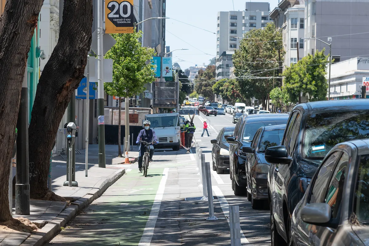
    Quick-build projects are in Tenderloin district where pedestrians are frequently hit
  • One eye on the future
    December 12, 2013
    Mobileye’s Itay Gat discusses the evolution of monocular solutions for assisted and autonomous driving with Jason Barnes. Founded in 1999, Israeli company Mobileye manufactures and supplies advanced driver assistance systems (ADAS) based on its EyeQ family of systems-on-chips for image processing for solutions such as lane sensing, traffic sign recognition, vehicle and pedestrian detection. Its products are used by both the OEM and aftermarket sectors. The company’s visual interpretation algorithms drive
  • ITS World Congress 2025: home runs and deep dives on Tech Tours
    July 16, 2025
    There's plenty to see beyond the conference and exhibition at #ITSAtlanta2025
  • Econolite Group launches new responsive design website
    November 4, 2016
    Econolite Group’s new responsive design website has been developed to provide an enhanced user experience, including simplified navigation and access to detailed information and training, says the company. In addition to enhanced information access, rendering of content has been optimised across computing and mobile devices, while reorganisation of the website content, intuitive menus, and interactive maps will reduce user clicks required to reach desired information. The new site features extensive pr