Google Maps to include first and last mile options

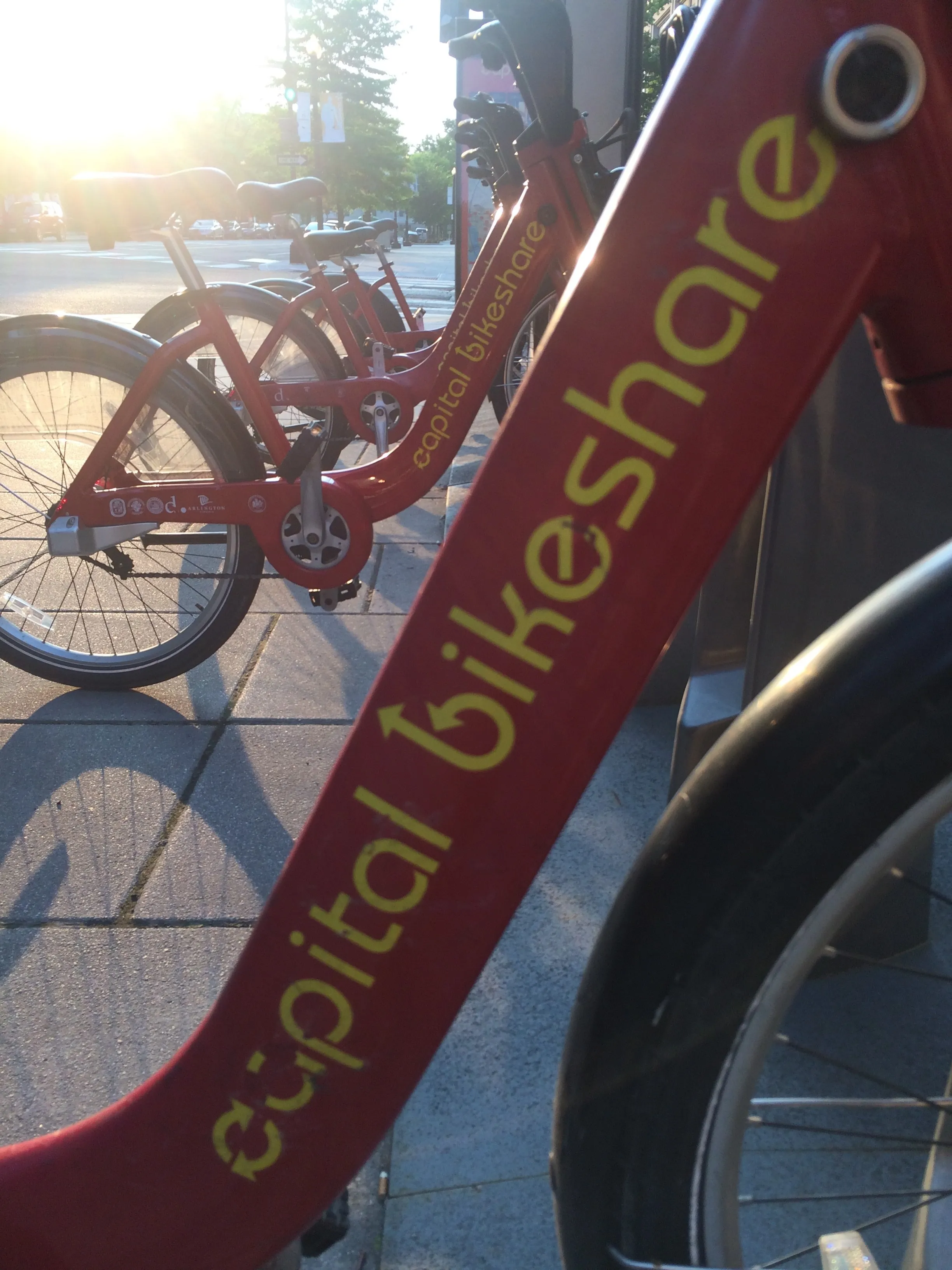
Google is to pair transit directions with bike- and ride-share options within Google Maps in a bid to improve first and last mile journeys. Google says users will be able to enter their destination in the search box, tap ‘Directions’ to see routes that feature ride-share and cycling options paired with transit directions. For ride-sharing, individuals can view information on how much the ride will cost, waiting time, traffic lights and an option to choose their favourite provider. Cyclists will be able
September 3, 2019 Read time: 1 min

1691 Google is to pair transit directions with bike- and ride-share options within Google Maps in a bid to improve first and last mile journeys.

Google says users will be able to enter their destination in the search box, tap ‘Directions’ to see routes that feature ride-share and cycling options paired with transit directions. For ride-sharing, individuals can view information on how much the ride will cost, waiting time, traffic lights and an option to choose their favourite provider.

Cyclists will be able to view tailored routes with information on the transit portion of the journey, which is factored into the total travel time and estimated time of arrival, the company adds.

UTC

Related Content

  • May 17, 2019
    Perfect Data launches ride-hailing app in UK
    Perfect Data has launched a ride-hailing app across the UK which it says will provide local authorities with a map of all vehicles operating in their areas. Darren Tenney, founder of Perfect Data, says Xooox [pronounced ‘Zooks’] will allow regulators to see what’s happening at street level. “At last they will have the power to take action against unlicensed, banned or out of jurisdiction drivers,” he continues. “This will not only help keep passengers safe, it will help protect the income of the hundred
  • July 27, 2021
    Moovit digitises Irish CityLink transit
    App identities wheelchair-accessible routes and stations across Ireland for travellers
  • March 12, 2019
    Moovit extends multimodal trip planner to include parking options
    Moovit is adding SpotHero’s parking facilities to its multimodal trip planner in a bid to make commuting easier in the San Francisco Bay Area. Moovit says users will be able to find parking facilities nearest to their transit station, removing the need to circle for parking. Yovav Meydad, Moovit chief growth and marketing officer, says: “Commuters can help reduce congestion simply by parking at transit hubs, and riding public transit for the ‘last mile’ of their trip.” The partnership will help u
  • July 21, 2020
    Ito World bike-share data comes to Google Maps
    Riders will be able to use Maps to open bike-share apps to book and unlock a bike