Google Maps to include first and last mile options

Google is to pair transit directions with bike- and ride-share options within Google Maps in a bid to improve first and last mile journeys. Google says users will be able to enter their destination in the search box, tap ‘Directions’ to see routes that feature ride-share and cycling options paired with transit directions. For ride-sharing, individuals can view information on how much the ride will cost, waiting time, traffic lights and an option to choose their favourite provider. Cyclists will be able
September 3, 2019 Read time: 1 min

1691 Google is to pair transit directions with bike- and ride-share options within Google Maps in a bid to improve first and last mile journeys.

Google says users will be able to enter their destination in the search box, tap ‘Directions’ to see routes that feature ride-share and cycling options paired with transit directions. For ride-sharing, individuals can view information on how much the ride will cost, waiting time, traffic lights and an option to choose their favourite provider.

Cyclists will be able to view tailored routes with information on the transit portion of the journey, which is factored into the total travel time and estimated time of arrival, the company adds.

For more information on companies in this article

Related Content

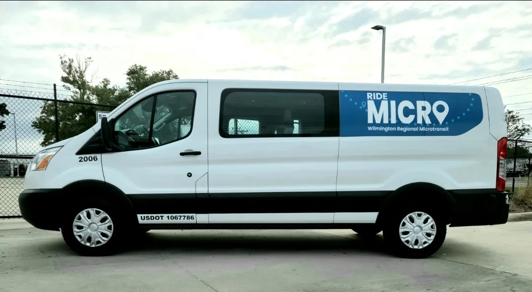
  • Moovit updates RideMicro on-demand 
    February 23, 2022
    App directs users to pick-up location and provides real-time tracking in North Carolina 
  • Caltrans takes the long view of transport
    October 21, 2016
    Caltrans’ Malcolm Dougherty took time out of his schedule at ITS America 2016 in San Jose to talk to ITS International about current and future challenges. As director of California Department of Transportation (Caltrans) since mid-2012, many would say that Malcolm Dougherty has one of the best jobs in transportation. Caltrans is one of the most progressive and innovative transport authorities, implementing policies to encourage cycling, piloting new
  • Washington DC gets multimodal transportation information displays
    May 31, 2013
    US-headquartered digital signage specialist Transit Screen has partnered with local Business Development Agencies (BID) Business Improvement Districts in what is said to be Washington, DC’s, first real-time multimodal display of transportation information. The Transit Screen displays provide a live, real-time snapshot of all Metro, Capital BikeShare, Metrobus, Circulator, and ART bus transit arrivals at a given location.
  • Bluetooth and Wi-Fi offer new options for travel time measurements
    November 20, 2013
    New trials show Bluetooth and Wi-Fi signals can be reliably used for measuring travel times and at a lower cost than an ANPR system, but which is the better proposition depends on many factors. Measuring travel times has traditionally relied automatic number plate (or licence plate) recognition (ANPR/ALPR) cameras capturing the progress of vehicles travelling along a pre-defined route. Such systems also have the benefit of being able to count passing traffic and have become a vital tool in dealing with c