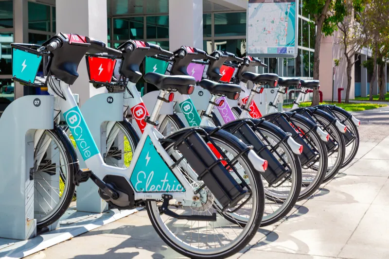
Google Maps displays bike-sharing locations in 24 cities

Google is rolling out its real-time bike-share information on Google Maps to 24 cities in 16 countries. Originally launched in New York City, the service allows people to use Google Maps to locate bike-sharing stations and pinpoint how many bikes are available at a station in real-time. Google has worked with Ito World to incorporate global bike-share data into Google Maps, allowing riders to find an empty space at a station to leave bikes. This ‘bird’s eye view into bike-sharing’ is available in
July 26, 2019 Read time: 1 min

1691 Google is rolling out its real-time bike-share information on Google Maps to 24 cities in 16 countries.

Originally launched in New York City, the service allows people to use Google Maps to locate bike-sharing stations and pinpoint how many bikes are available at a station in real-time.

Google has worked with 5957 Ito World to incorporate global bike-share data into Google Maps, allowing riders to find an empty space at a station to leave bikes.

This ‘bird’s eye view into bike-sharing’ is available in cities such as Toronto (Canada), London (UK) and New Taipei City (Taiwan).

UTC

Related Content

  • June 2, 2022
    San Antonio integrates bus and bike
    Texas city's Transit app users now have access to Via Metropolitan Transit and BCycle
  • October 18, 2012
    Success of Transport for London’s real time bus information service
    Since its launch a year ago, the UK’s Transport for London (TfL) Countdown real time bus information service has dealt with more than 620 million requests and, according to TfL, the service has made millions of journeys easier, dealing with an average of 1.6 million requests via the internet and smart phones and 36,000 requests via text each day. TfL has also recently completed the installation of 2,500 new and improved bus information roadside signs across the capital. These provide clearer amber text on
  • March 27, 2020
    Coronavirus fuels global cycling upsurge
    The ongoing coronavirus pandemic may be sending the world's transit systems into disarray, but a global surge in cycling may just provide a much-needed silver lining.
  • December 11, 2017
    Impark deploys hangtag at parking facilities, Canada
    Imperial Parking Canada Corporation (Impark) has deployed its hangTag app at parking facilities which is said to allow parkers to locate facilities on a map, view lot details, get driving directions, and pay without going to the meter. It also provides an early notification when a session is about to expire, allowing users to extend time from their phone. Impark plans to expand the service through its operations in the U.S. and has over 860 locations across Canada. The app is currently available for use