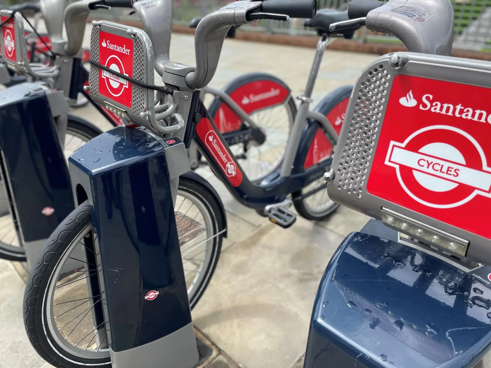
Google Maps displays bike-sharing locations in 24 cities

Google is rolling out its real-time bike-share information on Google Maps to 24 cities in 16 countries. Originally launched in New York City, the service allows people to use Google Maps to locate bike-sharing stations and pinpoint how many bikes are available at a station in real-time. Google has worked with Ito World to incorporate global bike-share data into Google Maps, allowing riders to find an empty space at a station to leave bikes. This ‘bird’s eye view into bike-sharing’ is available in
July 26, 2019 Read time: 1 min

1691 Google is rolling out its real-time bike-share information on Google Maps to 24 cities in 16 countries.

Originally launched in New York City, the service allows people to use Google Maps to locate bike-sharing stations and pinpoint how many bikes are available at a station in real-time.

Google has worked with 5957 Ito World to incorporate global bike-share data into Google Maps, allowing riders to find an empty space at a station to leave bikes.

This ‘bird’s eye view into bike-sharing’ is available in cities such as Toronto (Canada), London (UK) and New Taipei City (Taiwan).

UTC

Related Content

  • May 21, 2012
    Fast and efficient barrier-free electronic toll collection
    Canada’s 407 tolled highway allows non-stop travel and a fast and efficient way of paying for it. Ontario’s 407 ETR highway features one of the most advanced barrier-free and all- electronic toll collection systems in the world. The company that operates the road launched the latest phase of its strategy to provide end-to-end automation in summer 2011. A self-service website is now available, allowing users to view and pay charges online using technology supplied by the international market leaders in e-bil
  • January 22, 2019
    BART launches multi-modal trip planner app in San Francisco
    Bay Area Rapid Transit (BART) has launched a trip planner app in San Francisco to provide commuters with access to various transportation modes and information on service disruptions. The BART Trip Planner was developed in collaboration with HaCon – whose software processes transit data from more than 30 operators including buses, trains, ferries and cable cars. BART says the app takes walking, cycling and car routes and the state of traffic into account to give users a realistic comparison of their commu
  • September 21, 2018
    Passport brings traffic management platform to the UK
    UK drivers ‘rack up’ more than £570m in fines each year, according to an independent study conducted by US mobile payment company Passport. The firm has opened an office in London and is offering a platform which it says aims to boost traffic management in cities. Called Passport Platform, the solution is intended to connect multiple modes of transportation and payments and provide a way for cities to understand, manage and collaborate with an ecosystem of mobility services. Adam Warnes, vice presid
  • September 12, 2022
    London's shared bikes go electric
    TfL's Santander Cycles scheme adds 500 e-bikes in UK capital and changes fare structure