With the coronavirus crisis likely to continue for some months at least, city authorities are concerned that, as lockdown is lifted, people will shy away from public transport and revert to using their own cars.
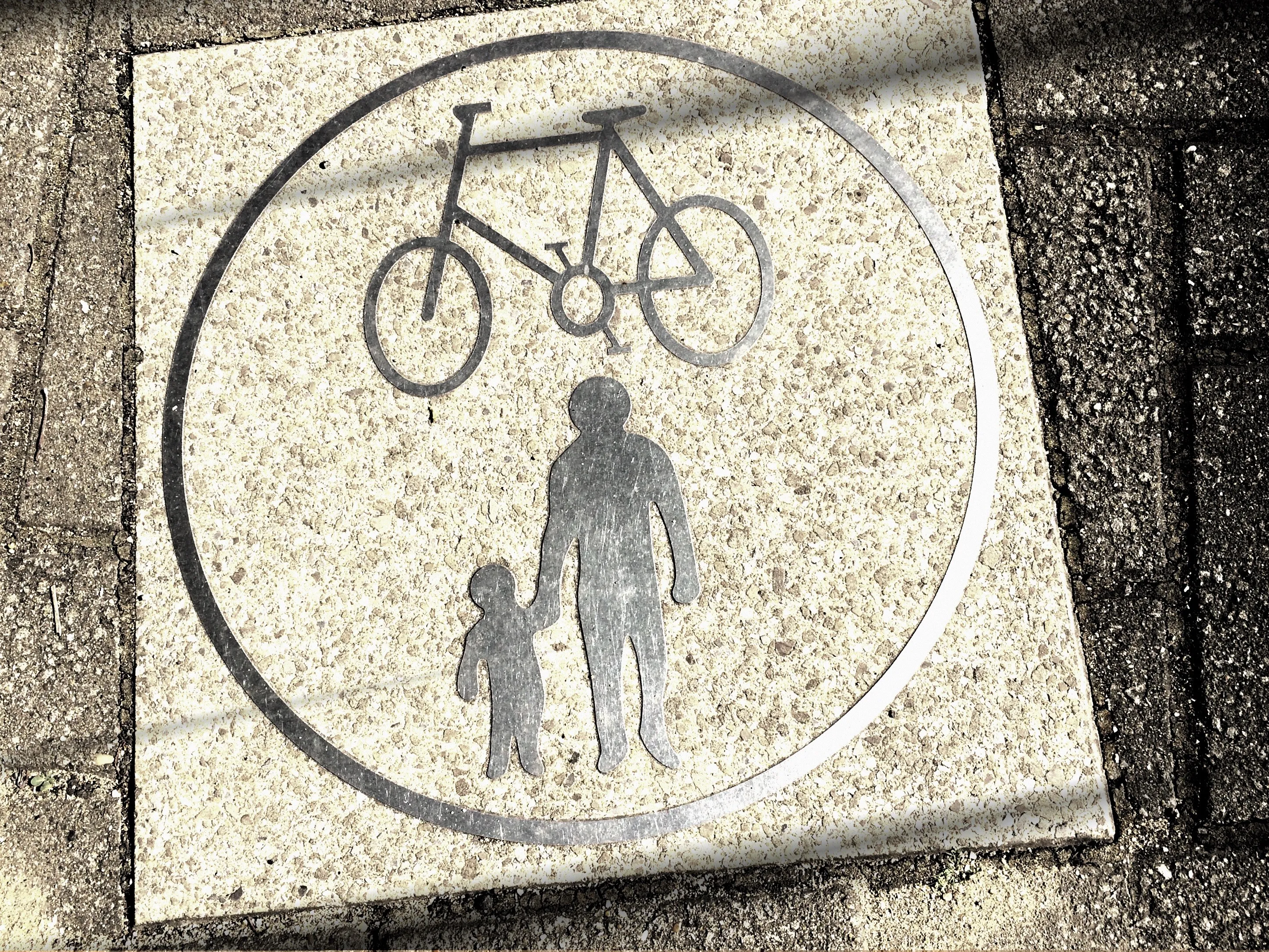
This risks increasing pollution, congestion and road danger – and while there seems to be little desire to see full subway trains anytime soon, not least because capacity will likely be reduced - planners’ thoughts have turned to making it easier for people to walk and cycle.
This would take pressure off public transport, perhaps allowing social distancing measures to be enforced, while giving people an alternative for some, or all, of their journeys as they get back to work.
Among the many measures either under consideration or actually being implemented are widening pavements and increasing the amount of temporary bicycle lanes.
Barcelona, for example, is planning an extra 30,000m2 of pedestrian space, bus lane improvements and an added 21km of bike lanes.
Paris has confirmed that bike transport will be an important part of mobility going forward, while Milan has made reduced car use one of the key pillars of its emergence from lockdown.
Meanwhile, cycling could increase 10-fold and walking five-fold post-lockdown, according to London mayor Sadiq Khan and Transport for London (TfL).
Their ‘London Streetspace' programme suggests that the UK capital’s public transport capacity may run at just 20% of pre-crisis levels, which means “millions of journeys a day will need to be made by other means”.
TfL, working with London’s boroughs, will focus on “rapid construction” of a temporary strategic cycling network, adding to the existing 160km, with new routes to reduce crowding on Underground, train and bus services.
There will also be wider footways on high streets, including space to queue for shops “as well as enough space for others to safely walk past while socially distancing”. Finally, reduced traffic on residential streets is planned, “creating low-traffic neighbourhoods right across London to enable more people to walk and cycle as part of their daily routine, as has happened during lockdown”.
In California, San Francisco Municipal Transportation Agency (SFMTA)’s Slow Streets programme has been designed to limit through traffic on certain residential streets and allow them to be used more as a shared space for foot and bicycle traffic.
Due to concerns over social distancing, “many pedestrians are choosing to walk in the street, exposing themselves to swiftly moving vehicle traffic”, the agency says.
To improve safety, 12 corridors have been identified as potential ‘slow streets’, and signage is being added to these to prioritise walking and biking – although motor vehicles will still have right of way.
SFMTA says it hopes to create two or three such corridors per week in residential streets connecting people to “essential services” as the city’s Muni bus service has been reduced.
The city of San Diego is currently rolling out a similar ‘slow streets’ plan.