Ford and StreetLight Data combine on safety  

Collision data and travel patterns are overlaid to see where road improvements are needed
By Adam Hill October 16, 2020 Read time: 2 mins
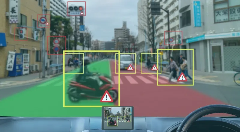
Bike, pedestrian and vehicle safety issues can be tackled, the two firms say (© Monopoly Monopoly | Dreamstime.com)

Ford Mobility and StreetLight Data have launched a data package which they say offers insights into road safety for departments of transportation and local authorities.

Safety Solutions brings together Ford’s Safety Insights tool - which uses collision data and connected vehicle input on near misses to find potential accident hotspots – and StreetLight’s Software as a Service (SaaS) platform StreetLight InSight, which supplies travel pattern data based on smartphones and navigation devices in connected vehicles, trucks and Internet of Things devices.

The new bundle can overlay crash information with vehicle, bicycle and pedestrian metrics to work out in which locations authorities should act to improve traffic safety.

“This kind of collation and analysis was previously very time-consuming and often lacked any visual representation to help planners and engineers rapidly identify, analyse and recommend countermeasures for particular safety concerns,” says Cal Coplai, product owner of Ford Mobility’s Safety Insights.

In a separate announcement, StreetLight’s data analysis has revealed that Covid-19 has changed traffic patterns in the US, shifting the morning rush hour in particular. 

Instead of the typical sharp increase in morning travel, followed by a drop and then an afternoon peak, the vehicle miles travelled (VMT) analysis shows weekday traffic building gradually toward a more sustained afternoon high.

In cities there are still ‘peak PM’ commutes – but the peaks are less pronounced.

Washington, DC, now has a slightly earlier peak for PM travel than during the same period in 2019, while Los Angeles and San Francisco have a “mini rush hour” just after lunch.

PM congestion begins earlier - but ends sooner – and there is more vehicle travel around midday than was the case last year.

For more information on companies in this article

Related Content

  • HDR predicts an adaptable and flexible future for roadways
    December 19, 2016
    HDR consultants, Brian Swindell and Bernie Arseanea, consider managed lanes’ untapped potential. It is no surprise that corridor planning continues to challenge agencies and owners as demand continues to surpass roadway capacity.
  • Big data and GPS combine to cut emergency response times
    April 2, 2014
    David Crawford looks at technologies for better emergency medical service delivery. Emergency medical services (EMS) play key roles in transporting, or bringing treatment to, patients who become ill through medical emergencies or are injured in road traffic accidents (RTAs). But awareness has been rising steadily, in the US and elsewhere, of the extent to which EMS can generate their own emergencies. The most common cause is vehicles causing or becoming involved in RTAs, as a result of driving fast under pr
  • Air quality tops transportation agendas
    November 17, 2014
    Colin Sowman catches up on some of the latest research around outdoor pollution and looks at options available to authorities in areas of poor air quality. Iair quality hasn’t already reached the top of the agenda in transportation department meetings in your area, it probably soon will with national, trans-national and even global bodies calling for authorities to reduce pollution levels.
  • European progress on road deaths 'disappointing', says ETSC
    June 18, 2020
    Safety body suggests that the EU will miss its target of halving fatalities by 2020