EarthSense app to identify clean air routes for UK cyclists

UK-based air quality specialists EarthSense is developing an app which will identify and map clean air routes for people cycling or exercising. The company says the application could also help wider clean air strategies when combined with population movement data. According to EarthSense, collating this data would allow key decision makers to identify popular exercise routes and target resources to improve air quality at these locations. The app is being funded by the European Space Agency's grant p
August 14, 2018 Read time: 2 mins
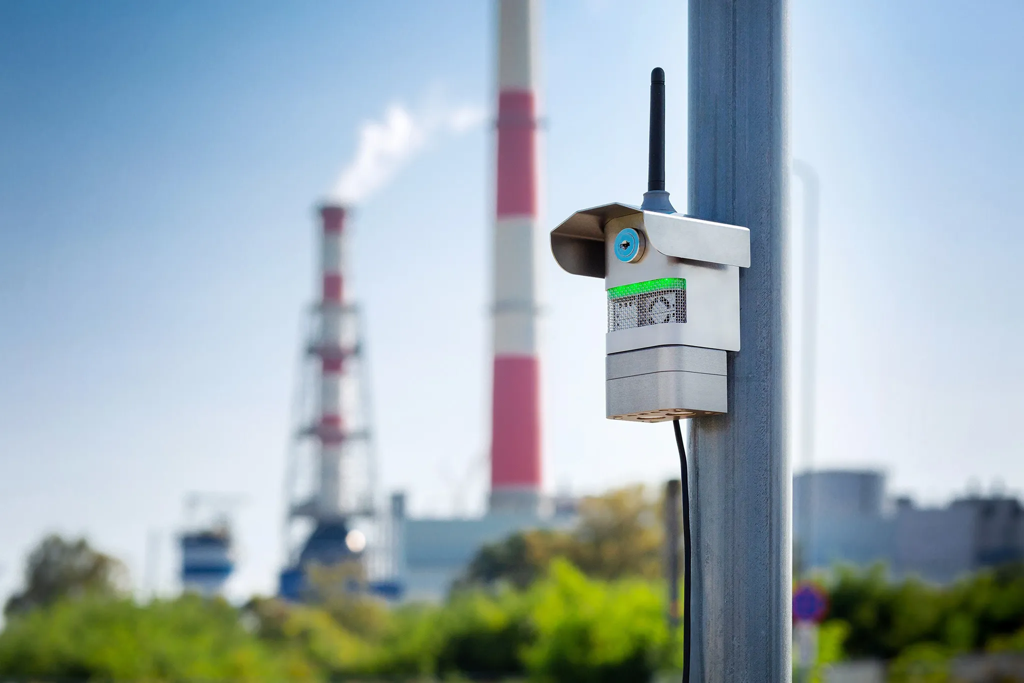
UK-based air quality specialists 8834 EarthSense is developing an app which will identify and map clean air routes for people cycling or exercising. The company says the application could also help wider clean air strategies when combined with population movement data.


According to EarthSense, collating this data would allow key decision makers to identify popular exercise routes and target resources to improve air quality at these locations.

The app is being funded by the European Space Agency's grant programme Project CARAMEL (Clean Air Routing and Mobile Exposure Limitation).

The CARAMEL app uses space-based data, traffic simulation data, open data and public transport data with big data analytics. The solution will feature an air quality data model and routing system, an online mapping portal as well as reports on weekly pollution levels.

EarthSense is working with Leeds City Council and 16 Aimsun to assess the app and online system's feasibility and commercial opportunities.

Related Content

  • November 18, 2022
    Airly cleans up with $5.5m funding
    Air quality platform provides data infrastructure to allow cities to reduce pollutants
  • August 8, 2018
    Mobilising data for the future of urban transport
    It's not just gathering the data that's important, says Johan Herrlin - it's making sure that transport organisations share it with one another that will determine travellers' satisfaction. Data is transforming the way we move around cities, from family car journeys to the daily train commute. Gone are the days when travelling from A to B meant remembering your AA map and having to ask for directions at regular intervals. If you were trying to navigate London as a tourist a mere decade ago, it required
  • February 25, 2016
    System predicts train delays and informs response
    David Crawford looks into the near-term future for Stockholm’s rail commuters. Swedish rail operator Stockholmståg, which runs commuter services in and around the country’s capital, is claiming a world first with the introduction of its automated Pendelprognosen (commuter prognosis) service. Developed to enable the prediction of delays as much as two hours before they are likely to occur, this offers the operator the scope for much earlier remedial action than previously - for example by filling in the expe
  • April 20, 2022
    Tallinn maps urban bike use
    Estonian capital's citizen data collection drive is part of European Bicification project