Dublin City Council is one of 16 cities and regions around the world to be awarded an IBM grant worth US$500,000, which aims to help it use data analytics technology to solve a problem.
The IBM Smart Cities Challenge will see a team from the computer giant analyse a specified problem over a number of months, and then travel to Dublin on a pro-bono basis to try to solve that problem using technology.
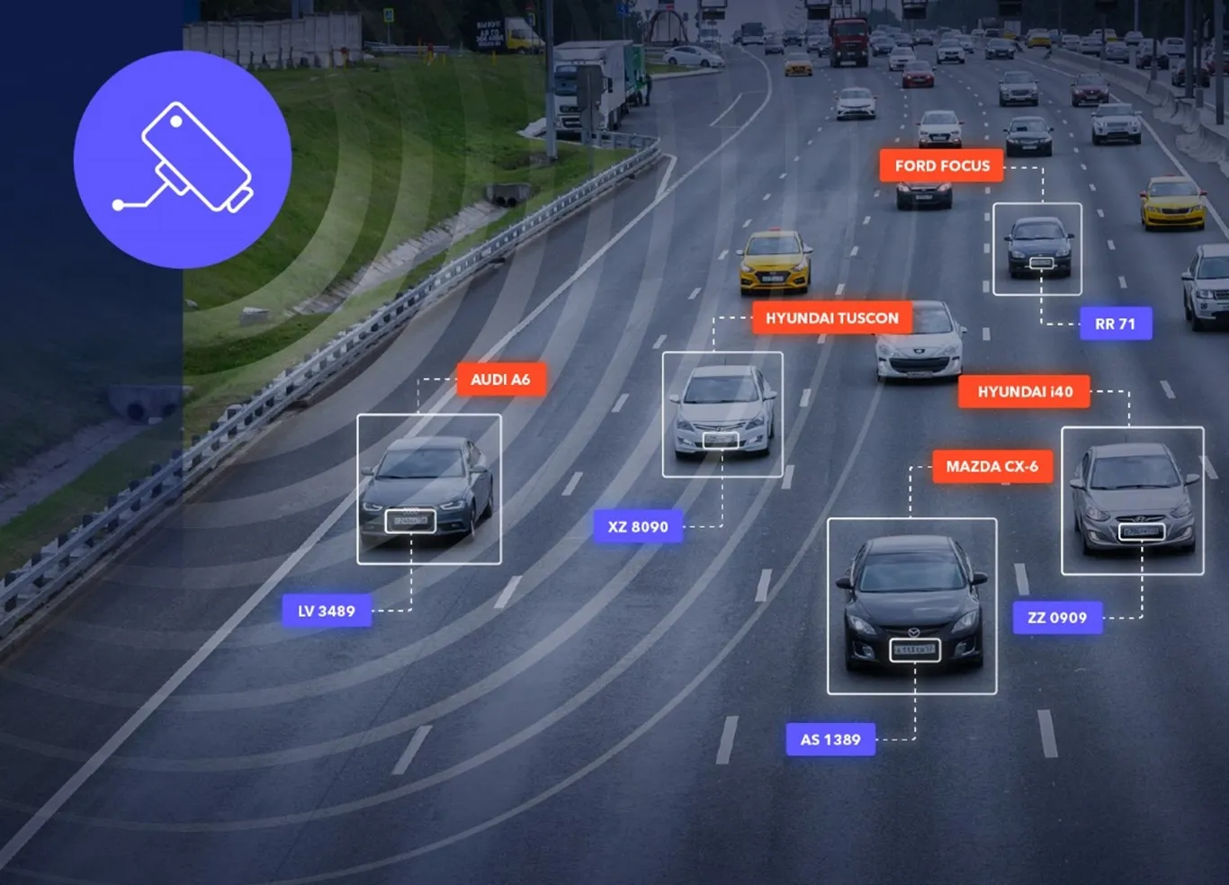
Dublin City Council is already working with IBM on a smart city project analysing the use of transpo
The IBM smart Cities Challenge will see a team from the computer giant analyse a specified problem over a number of months, and then travel to Dublin on a pro-bono basis to try to solve that problem using technology.
Dublin City Council is already working with IBM on a smart city project analysing the use of transport within the city, which the council claims has already led to improved services for users.
Smart cities are urban areas where information and data about the operations and services in the city is gathered in real-time and then analysed to identify problems and solutions to ongoing issues.
Issues being tackled by IBM around the world under the smart Cities Challenge range from clean water, healthy food, and revenue generation, to job development, efficient transportation, and public safety.
More than 500 cities and municipalities have entered for a place on the competitive challenge in the last three years, with 116 being selected for involvement.
Examples of past successful projects include Eindhoven in the Netherlands, which has reduced crime with strategies that include citizens' use of social media; and Edmonton in Canada which has improved road safety by analysing accident data.