DriveOhio to monitor traffic and road incidents with drones

DriveOhio will use unmanned aircraft systems (UAS) to understand how to manage traffic, roadway incidents and roadway conditions along the 33 Smart Mobility Corridor from 1 July. The three-year project, valued $5.9m, is intended to complement autonomous and connected vehicle tests along the 35-mile stretch between Dublin and East Liberty.
June 8, 2018 Read time: 2 mins
DriveOhio will use unmanned aircraft systems (UAS) to understand how to manage traffic, roadway incidents and roadway conditions along the 33 Smart Mobility Corridor from 1 July. The three-year project, valued $5.9m, is intended to complement autonomous and connected vehicle tests along the 35-mile stretch between Dublin and East Liberty.


This study stems from a partnership between DriveOhio’s UAS Center and the Ohio State University College of Engineering.

The research will be carried out by air and ground vehicles while the drones will monitor traffic and incident response along with the state's fixed-location traffic camera system. The UAS will interact with sensors and communication equipment to feed data into the state’s traffic management centre.

Additionally, the initiative will use sensors and communication devices to ensure unmanned aircraft will not collide with each other or with small planes and helicopters.

Fred Judson, director of DriveOhio’s UAS Center, says: “This research project will make the development of that safety system a priority so that other aircraft operations such as package delivery and air taxi services can be explored down the road.”

Other members involved in the project include Cal Analytics, Gannett Fleming, Airxos, Gryphon Sensors, Transportation Research Center, Woolpert, the Ohio State University Airport and Midwest Air Traffic Control.

Related Content

  • ACM to lead collaborative study on autonomous truck platooning
    September 26, 2018
    The American Center for Mobility (ACM) will lead a study which seeks to autonomously control a fleet of trucks in Colorado. The two-year project will begin at the end of 2018, followed by a second deployment in Michigan. ACM says it has worked collaboratively to identify and pool resources to help accelerate the safe deployment of autonomous controlled trucks. As part of the programme, tests will be carried out at ACM’s purpose-built facility to assess the reliability of multi-truck convoys travelli
  • Syracuse models post-industrial revival for US cities
    August 13, 2015
    A connective corridor in Syracuse, New York State, could be a model for other post-industrial cities, as David Crawford discovers. The aim of the city of Syracuse’ 5.6km-long Connective Corridor in Onandaga County in upstate New York is to create a model ‘complete street’ for use in wider regeneration schemes. Key transport-sector components are traffic calming, high-quality transit with accessible passenger information, plus walkability and bike-friendliness.
  • FOTsis targets ‘socially inclusive’ cooperative ITS
    December 5, 2013
    The FOTsis project addresses the imbalances between the vehicular and infrastructure sides of cooperative ITS infrastructures and looks to ensure road operators can help to enrich future technology applications. By Jason Barnes. Several developments have conspired to push the vehicular side of cooperative infrastructures/cooperative ITS to the fore in recent years. The automotive industry’s rather shorter product development and lifecycles combined with economic slowdown in many regions gave rise to the not
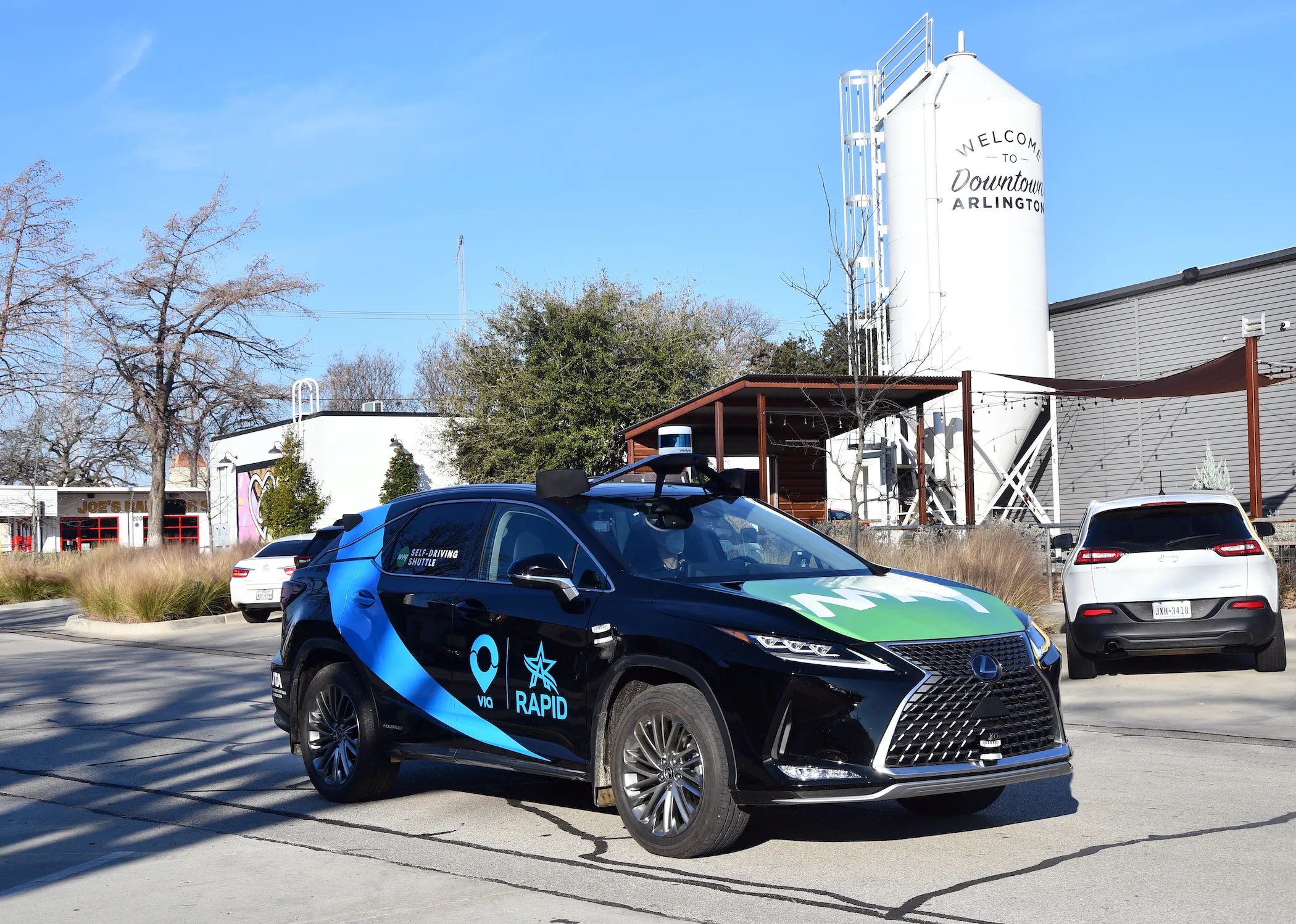
  • Via embeds AVs into Texas transport 
    April 7, 2021
    May Mobility is providing five AVs for RAPID service area