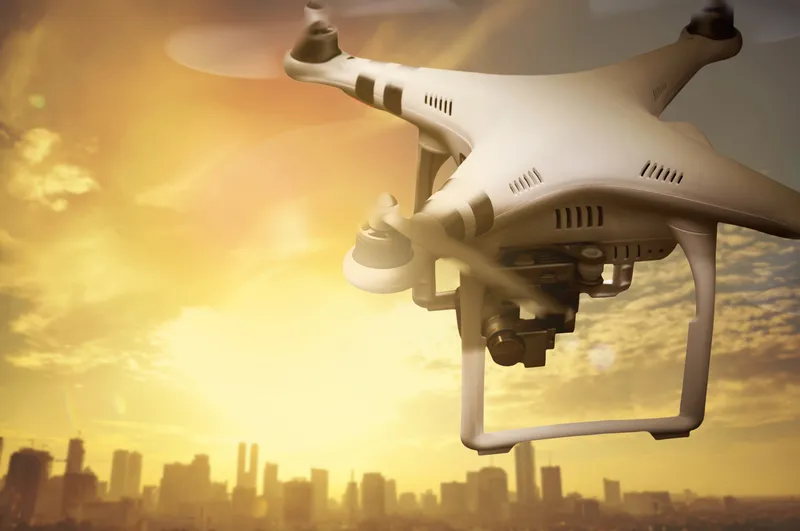
DriveOhio to monitor traffic and road incidents with drones

DriveOhio will use unmanned aircraft systems (UAS) to understand how to manage traffic, roadway incidents and roadway conditions along the 33 Smart Mobility Corridor from 1 July. The three-year project, valued $5.9m, is intended to complement autonomous and connected vehicle tests along the 35-mile stretch between Dublin and East Liberty.
June 8, 2018 Read time: 2 mins
DriveOhio will use unmanned aircraft systems (UAS) to understand how to manage traffic, roadway incidents and roadway conditions along the 33 Smart Mobility Corridor from 1 July. The three-year project, valued $5.9m, is intended to complement autonomous and connected vehicle tests along the 35-mile stretch between Dublin and East Liberty.


This study stems from a partnership between DriveOhio’s UAS Center and the Ohio State University College of Engineering.

The research will be carried out by air and ground vehicles while the drones will monitor traffic and incident response along with the state's fixed-location traffic camera system. The UAS will interact with sensors and communication equipment to feed data into the state’s traffic management centre.

Additionally, the initiative will use sensors and communication devices to ensure unmanned aircraft will not collide with each other or with small planes and helicopters.

Fred Judson, director of DriveOhio’s UAS Center, says: “This research project will make the development of that safety system a priority so that other aircraft operations such as package delivery and air taxi services can be explored down the road.”

Other members involved in the project include Cal Analytics, Gannett Fleming, Airxos, Gryphon Sensors, Transportation Research Center, Woolpert, the Ohio State University Airport and Midwest Air Traffic Control.

UTC

Related Content

  • December 19, 2017
    Inrix informs FHWA’s data improvements
    Refinements in the data available from the US Federal Highway Administration will improve road management across America. David Crawford reports. In August 2017, the US Federal Highway Administration (FHWA) issued the first results from an upgraded version of its National Performance Management Research Data Set (NPMRDS). Developed to identify the locations and times of high congestion affecting traffic flows along America’s 259,000km (161,000 mile) national highway system, this is a key resource for sta
  • February 19, 2015
    Report forecasts rapidly changing market for drones
    A new IDTechEx report, Electric Drones: Unmanned Aerial Vehicles UAVs 2015-2025, examines the market for drones or unmanned aerial vehicles (UAVs), saying that most of the market value today lies in military applications, both for electric and - the big money - non-electric versions. Nonetheless, small UAVs are increasing in sales fastest and that is primarily down to non-military applications. From 2026, civil uses will greatly exceed military in market value. The report forecasts it all but concentrates o
  • November 7, 2013
    Smart Spanish city trials cell-based traffic management
    David Crawford reports on an urban electronic nervous system. The northern Spanish city of Santander – historically a port - is now an emerging technology showcase attracting global attention as a prototype for a medium-sized smart city of the future. In a move to determine the optimal use of available data, it is creating a de-facto experimental laboratory for sensor and mobile phone-based urban traffic management and environmental monitoring innovations.
  • February 2, 2012
    Growing use of video monitoring in traffic management
    The county-wide expansion of CCTV coverage in Florida Department of Transportation's District Four is detailed by Citilog's Eric Toffin