This study stems from a partnership between DriveOhio’s UAS Center and the Ohio State University College of Engineering.
The research will be carried out by air and ground vehicles while the drones will monitor traffic and incident response along with the state's fixed-location traffic camera system. The UAS will interact with sensors and communication equipment to feed data into the state’s traffic management centre.
Additionally, the initiative will use sensors and communication devices to ensure unmanned aircraft will not collide with each other or with small planes and helicopters.
Fred Judson, director of DriveOhio’s UAS Center, says: “This research project will make the development of that safety system a priority so that other aircraft operations such as package delivery and air taxi services can be explored down the road.”
Other members involved in the project include Cal Analytics, Gannett Fleming, Airxos, Gryphon Sensors, Transportation Research Center, Woolpert, the Ohio State University Airport and Midwest Air Traffic Control.
DriveOhio to monitor traffic and road incidents with drones
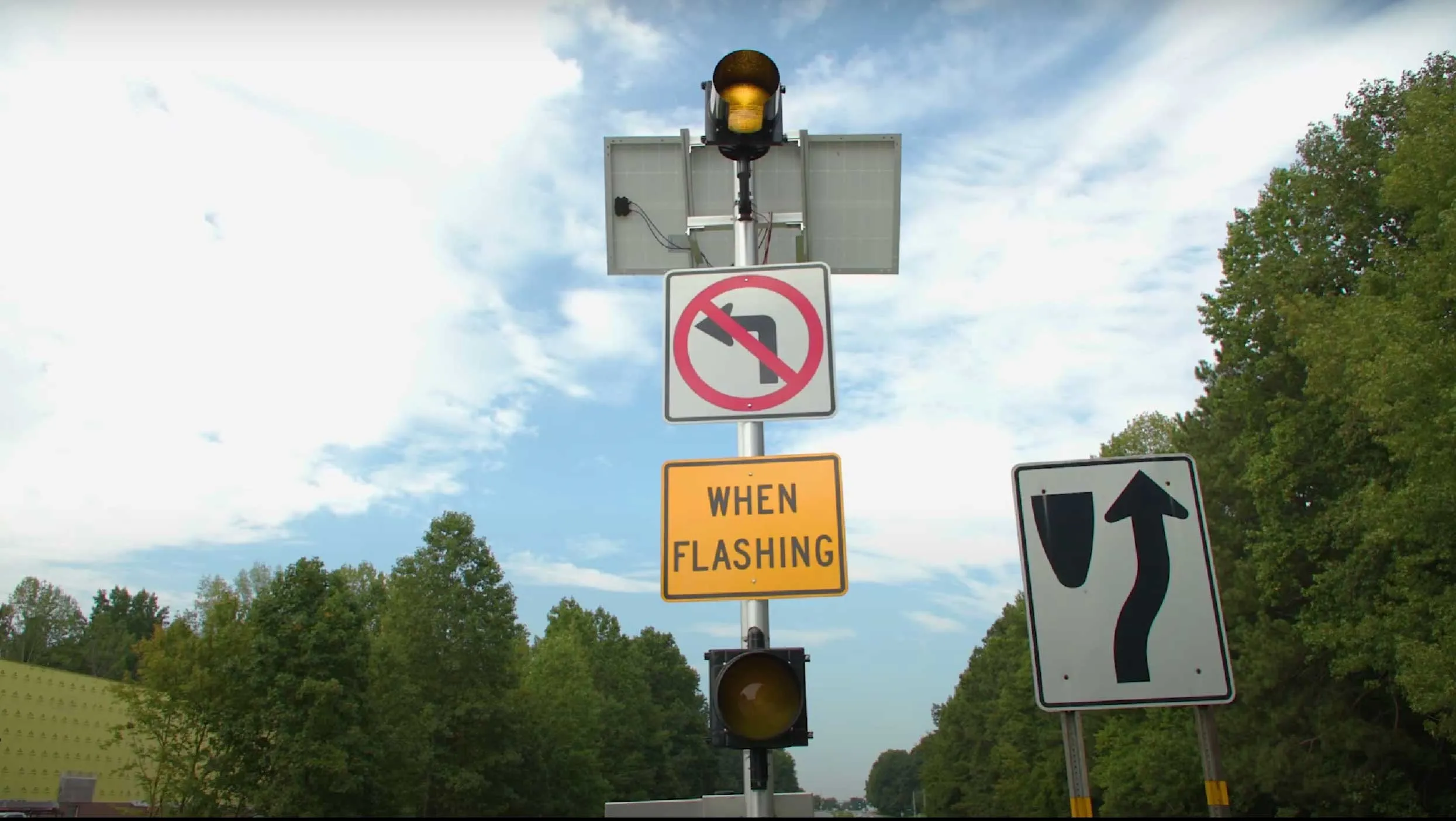
DriveOhio will use unmanned aircraft systems (UAS) to understand how to manage traffic, roadway incidents and roadway conditions along the 33 Smart Mobility Corridor from 1 July. The three-year project, valued $5.9m, is intended to complement autonomous and connected vehicle tests along the 35-mile stretch between Dublin and East Liberty.
DriveOhio will use unmanned aircraft systems (UAS) to understand how to manage traffic, roadway incidents and roadway conditions along the 33 Smart Mobility Corridor from 1 July. The three-year project, valued $5.9m, is intended to complement autonomous and connected vehicle tests along the 35-mile stretch between Dublin and East Liberty.