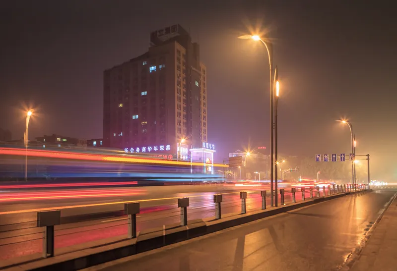
Derq's software monitored vehicle-to-infrastructure and vehicle-to-pedestrian interactions. The firm uses patented artificial intelligence algorithms to create a two-second warning for drivers.
Flir Systems' thermal imaging and combined visible/radar sensors were installed on the intersection to allow Derq to run its software applications and generate predictions.
The project is part of the
Dr. Georges Aoude, Derq’s CEO and co-founder, says the intersection is one of the most challenging areas for pedestrians and cars in the city.
“It’s a complex intersection connecting major roads and highways, as well as the Detroit-Windsor Tunnel,” Aoude adds.
Derq is exhibiting the technology at the ITS America Conference in Detroit.
Derq launches V2X safety project in Detroit
Derq has launched two vehicle to everything (V2X) applications in downtown Detroit to predict and prevent traffic crashes. The technology company collaborated with Flir Systems to communicate threats in real-time to drivers at the intersection of Jefferson Avenue and Randolph Street intersection.
Derq's software monitored vehicle-to-infrastructure and vehicle-to-pedestrian interactions. The firm uses patented artificial intelligence algorithms to create a two-second warning for drivers.
Flir Systems'
Derq has launched two vehicle to everything (V2X) applications in downtown Detroit to predict and prevent traffic crashes. The technology company collaborated with 6778 Flir Systems to communicate threats in real-time to drivers at the intersection of Jefferson Avenue and Randolph Street intersection.