Paul Bates, head of product management for Clearview, says the system – which analyses anonymous GPS-determined locations transmitted by mobile phone and satellite navigation users - removes the need for installing and maintaining roadside technology. Operators can launch the application from a computer and receive data in minutes.
“It means instead of employing someone to watch CCTV in case of an incident, they can be deployed elsewhere in the business,” Bates adds.
The solution monitors the time taken to travel between two points. If the time exceeds a pre-determined ‘normal’ travel time, an alert will advise the operator of slowing or stationary traffic.
The company says all the data, including the chosen routes, average travel times and alert intervals can be changed at any point. This information can then be used to inform drivers of the time it takes to travel to the end destination using variable message signs.
Data can be viewed in various ways, including as a heatmap or graph. Users can choose different colours to highlight normal or slowing traffic and export the data to Excel to analyse it offline.
“The data can be used to evidence persistent issues on the highways network and be used to analyse the impact of roadworks or when planning future developments in the area,” Bates concludes.
The system operates on a subscription basis, allowing users to access the system for a set number of routes.
Clearview launches Journey Time Monitoring System
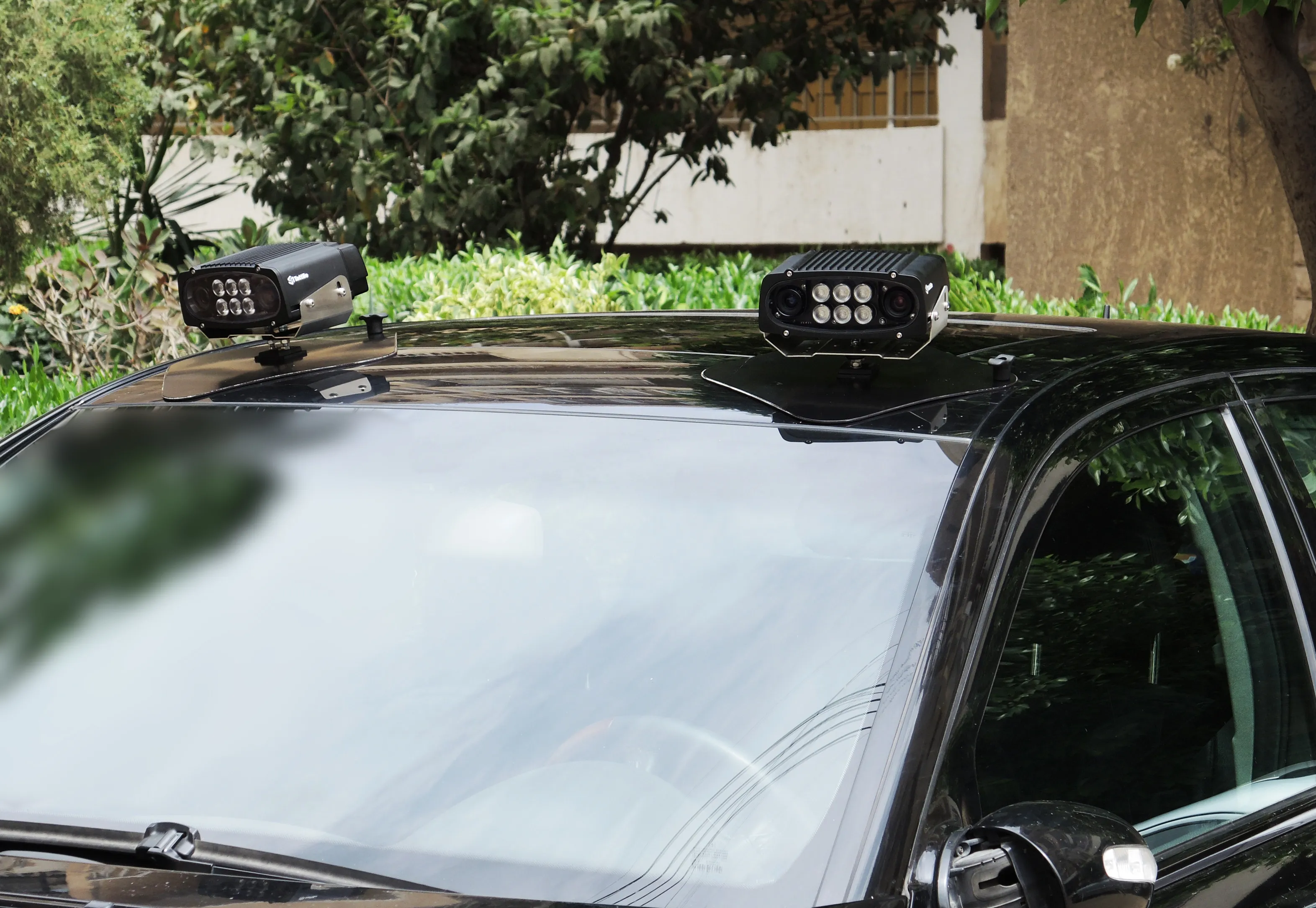
Clearview Intelligence has launched its Journey Time Monitoring System which uses crowdsourced data to generate automatic traffic alerts for temporary and permanent routes.
Paul Bates, head of product management for Clearview, says the system – which analyses anonymous GPS-determined locations transmitted by mobile phone and satellite navigation users - removes the need for installing and maintaining roadside technology. Operators can launch the application from a computer and receive data in minutes.
December 14, 2018
Read time: 2 mins


