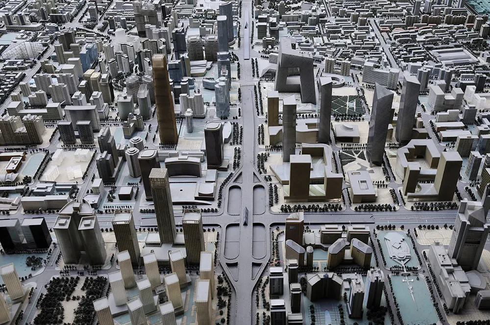
The City of Toronto is investing in the power of data to help understand how, where and when people travel and how the City can use this information to better assist the public in moving around Toronto.
The city is creating a Big Data Innovation Team which will build on some of the current big data work of Transportation Services, including: developing a Big Travel Data strategy for Transportation Services to determine ways to make this type of information available; partnering with McMaster University
The City of Toronto is investing in the power of data to help understand how, where and when people travel and how the City can use this information to better assist the public in moving around Toronto.
The city is creating a Big Data Innovation Team which will build on some of the current big data work of Transportation Services, including: developing a Big Travel Data strategy for Transportation Services to determine ways to make this type of information available; partnering with McMaster University to analyse historical travel data on city expressways and streets; working with the TTC to closely analyse surface transit data to identify operational improvements to further improve streetcar service; and releasing a report from the Cycling Unit of Transportation Services evaluating cycling travel patterns based on data collected from its cycling tracking app, showing the impacts of Cycletracks.
Mayor John Tory says the availability of travel data has improved dramatically over the past few years and is at a point where the City can, and should, be using it to better understand travel patterns, evaluate the City’s investments and monitor performance. “With this information, we can get Toronto moving smarter," he said. "This will be a game changer and will establish Toronto as a leader in running a truly smart city."