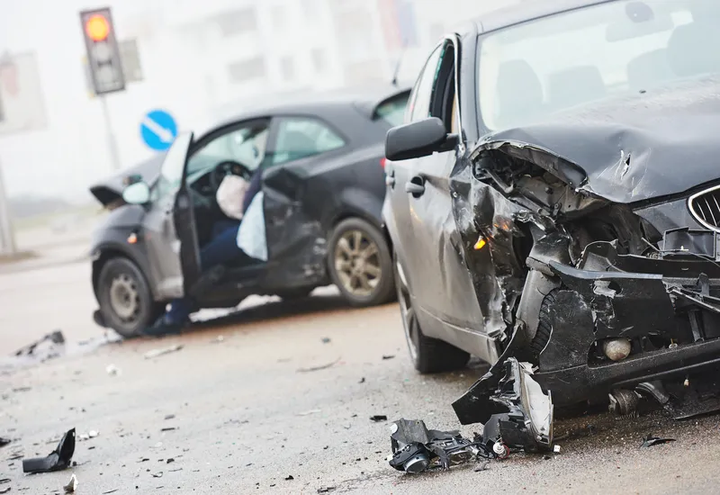
The city of Chicago has unveiled a plan to help improve traffic safety in its poorer areas, focusing on the south and west sides.
Mayor Lori Lightfoot says studies show that residents living in communities experiencing “economic hardship” are three times more likely to die as a result of a traffic crash.
“We must change how we design and use streets, as any traffic-related death is unacceptable when we, as a city, have the tools and strategies to prevent the conditions that lead to these tragedies,” Lightfoot adds.
The Vision Zero West Side Plan includes recommendations for improving traffic flow and pedestrian safety in East and West Garfield Park, North Lawndale and Auston. These include safety improvements around transit stations, efforts to encourage safe transportation to and from school and increased infrastructure investments.
It follows an initial action plan in 2017 that used crash data to identify 43 high crash corridors and eight high crash corridors in Chicago - seven of which were on the west and south side of the city.
Walter Burnett Junior, alderman for Chicago’s 27th ward, says: “These incidents are preventable, and the west side plan is the first step in reducing the amount of injuries and fatalities in our neighbourhoods.”
The plan was developed with input from people living in the city, including contributions from the Garfield Park Community Council, the North Lawndale Community Coordinating Council, Lawndale Christian Health Center, Build and Austin Coming Together.
The Chicago Department of Health’s acting commissioner Allison Arwady says: "With community members weighing in on traffic safety in their neighbourhoods, we’re ensuring our street designs become safer and making it second nature to look out for each other.”
Chicago pushes traffic safety plan for ‘poorer’ areas
The city of Chicago has unveiled a plan to help improve traffic safety in its poorer areas, focusing on the south and west sides.
Mayor Lori Lightfoot says studies show that residents living in communities experiencing “economic hardship” are three times more likely to die as a result of a traffic crash.
“We must change how we design and use streets, as any traffic-related death is unacceptable when we, as a city, have the tools and strategies to prevent the conditions that lead to these tragedies,” Ligh
October 2, 2019
Read time: 2 mins


