A new traffic app recently launched in Adelaide, South Australia, is helping drivers avoid roadworks and traffic jams with real-time updates.
AddInsight taps into more than 400 of Adelaide’s state-of-the-art Bluetooth receivers, which monitor the city’s road network in real-time and broadcasts verbal messages to drivers in about approaching delays through a vehicle’s hands free systems and mobile phones.
The free app has been released at a time when the South Australian capital’s road network has been
A new traffic app recently launched in Adelaide, South Australia, is helping drivers avoid roadworks and traffic jams with real-time updates.
AddInsight taps into more than 400 of Adelaide’s state-of-the-art Bluetooth receivers, which monitor the city’s road network in real-time and broadcasts verbal messages to drivers in about approaching delays through a vehicle’s hands free systems and mobile phones.
The free app has been released at a time when the South Australian capital’s road network has been plagued with disruptions caused by major infrastructure improvements such as new freeways and building projects.
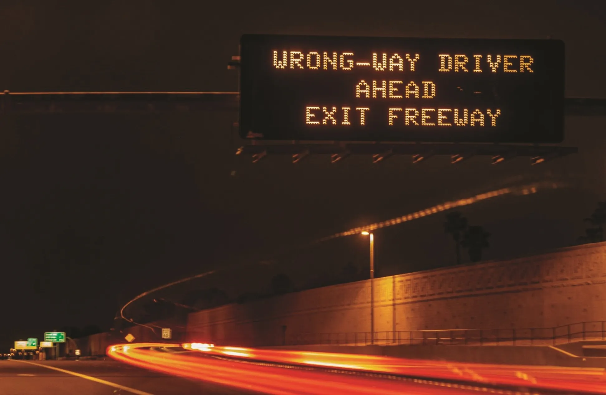
Travel times determined using the information from the Bluetooth beacons are also broadcast on more than 47 electronic signs around metropolitan Adelaide to help motorists choose their fastest route.
The Bluetooth data allows traffic control centres to change traffic signals immediately in response to incidents such as crashes.
South Australian Transport and Infrastructure Minister Stephen Mullighan said the unique traffic app would help shorten travel time. “The AddInsight app is like having a personal navigator in your car, giving you information in advance about hazards or delays ahead, so you can avoid them by finding an alternative route,” he said.
AddInsight taps into more than 400 of Adelaide’s state-of-the-art Bluetooth receivers, which monitor the city’s road network in real-time and broadcasts verbal messages to drivers in about approaching delays through a vehicle’s hands free systems and mobile phones.
The free app has been released at a time when the South Australian capital’s road network has been plagued with disruptions caused by major infrastructure improvements such as new freeways and building projects.
Travel times determined using the information from the Bluetooth beacons are also broadcast on more than 47 electronic signs around metropolitan Adelaide to help motorists choose their fastest route.
The Bluetooth data allows traffic control centres to change traffic signals immediately in response to incidents such as crashes.
South Australian Transport and Infrastructure Minister Stephen Mullighan said the unique traffic app would help shorten travel time. “The AddInsight app is like having a personal navigator in your car, giving you information in advance about hazards or delays ahead, so you can avoid them by finding an alternative route,” he said.