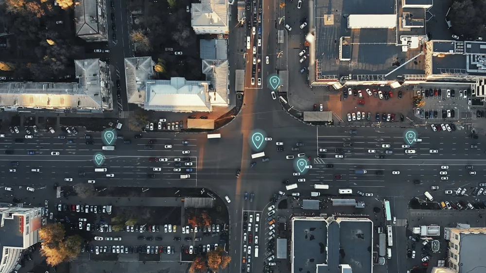
To support the unprecedented urban growth in Bangalore, India’s third most populous city with a population of over eight million, the Bruhat Bangalore Mahanagara Palike (BBMP) has adopted GIS to completely transform the way it manages its road network.
Using GeoCivic Road Infrastructure Management, a solution by CyberTech, a partner of Esri, BBMP built a geo-enabled, transparent system that provides officials with information-rich dashboards for monitoring road activities across all wards and zones. The
June 6, 2014
Read time: 2 mins
To support the unprecedented urban growth in Bangalore, India’s third most populous city with a population of over eight million, the Bruhat Bangalore Mahanagara Palike (BBMP) has adopted GIS to completely transform the way it manages its road network.
Using GeoCivic Road Infrastructure Management, a solution by CyberTech, a partner of50 ESRI, BBMP built a geo-enabled, transparent system that provides officials with information-rich dashboards for monitoring road activities across all wards and zones. The solution is designed to help BBMP reduce costs by up to 20 per cent, increase operational efficiencies and make better informed planning decisions.
The GIS system helps BBMP better manage its 7,500 kilometre road network by providing a more organised management of geographically-spread road information. It provides a centralised, dynamic registration of accurate spatial and linear locations of road assets that enables easy recording and modification of data. Advanced, Android-based mobile applications facilitate real-time information capture from the field via advanced thematic maps to help officials in more efficient planning and predictive road maintenance.
The system also helps BBMP officials keep track of all historical and future road works, which prevents duplicate and redundant road works and contracts.
In addition, the GIS system automates and streamlines the entire approval and management process for road cutting activities carried out by various service providers and private property owners, providing citizens and service providers with transparent tracking of applications and permissions online.
Using GeoCivic Road Infrastructure Management, a solution by CyberTech, a partner of
The GIS system helps BBMP better manage its 7,500 kilometre road network by providing a more organised management of geographically-spread road information. It provides a centralised, dynamic registration of accurate spatial and linear locations of road assets that enables easy recording and modification of data. Advanced, Android-based mobile applications facilitate real-time information capture from the field via advanced thematic maps to help officials in more efficient planning and predictive road maintenance.
The system also helps BBMP officials keep track of all historical and future road works, which prevents duplicate and redundant road works and contracts.
In addition, the GIS system automates and streamlines the entire approval and management process for road cutting activities carried out by various service providers and private property owners, providing citizens and service providers with transparent tracking of applications and permissions online.


