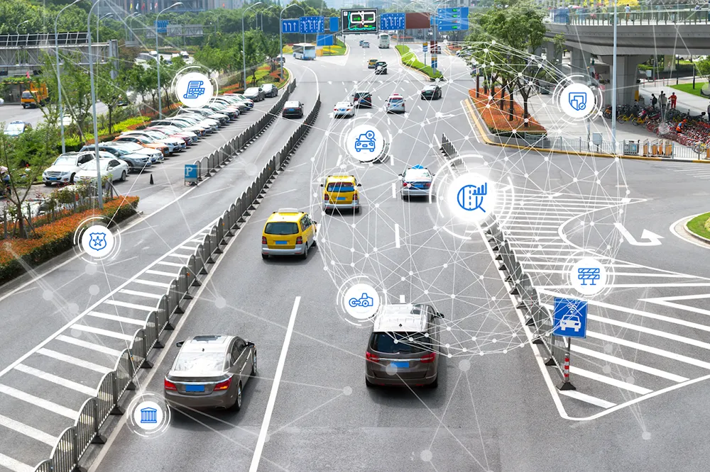
To cater to the needs of the growing population of the city of Auckland, New Zealand, Auckland Transport has adopted technology solutions from Microsoft’s new initiative, CityNext to upgrade the city’s transportation services and core infrastructure. CityNext offers cities a broad portfolio of technology solutions such as business software, devices and apps, cloud solutions, and big data platforms, from Microsoft and its partners to help city governments overcome urbanisation and governance challenges in ar
To cater to the needs of the growing population of the city of Auckland, New Zealand, Auckland Transport has adopted technology solutions from 2214 Microsoft’s new initiative, CityNext to upgrade the city’s transportation services and core infrastructure.
CityNext offers cities a broad portfolio of technology solutions such as business software, devices and apps, cloud solutions, and big data platforms, from Microsoft and its partners to help city governments overcome urbanisation and governance challenges in areas from administration to health and transportation.
Auckland Council integrated its eight different transportation divisions into a single authority, Auckland Transport in 2010, using modern IT systems to give its staff access to a comprehensive suite of data centre management tools, and installed advanced security software to protect its infrastructure.
The agency also developed a series of web-based applications for citizens, giving them access to personalised transportation services. MyStreet, a web application with a smartphone app to be launched soon, allows citizens to report problems such as potholes and other road damage to Auckland Transport, and monitor the progress of repairs.
“We wanted to empower citizens to make city transportation choices based on accurate information and increase the use of public transportation”, said Roger Jones, General Manager of IT and Business Systems for Auckland Transport.