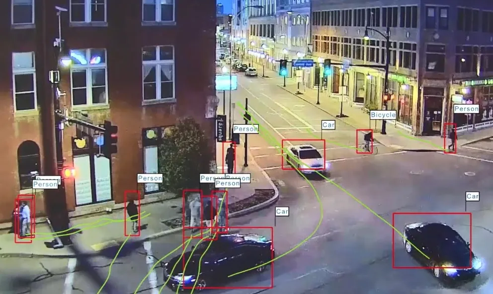
BlipTrack provides data about the mix of staff and passengers using Park and Ride facility to help the airport to better understand the performance and regularly review how they can improve facilities. The information is also used to assist planning decisions for road network maintenance and infrastructure projects.
These insights, when combined with the Waterview connection, are said to have enabled the New Zealand Traffic Agency (NZTA) to reduce travel times to and from the airport from the CBD and West Auckland.
The data also allows NZTA to display live travel times between the CBD and airport, as well as information about days with high risk of congestion via the RideMate app which can also be accessed online.
Additionally, the solution can use the data to pinpoint road sections and intersections where driving times deviate because of incidents, roadwork, faulty traffic light and other factors.
Inside the airport, BlipTrack supplies metrics on passenger queue times and volume, as well as insights into their movement patterns through the internal and domestic terminals’ departure and arrival processes to help manage and support resources. It also displays wait times at checkpoints with the intention of managing passenger expectations and reducing queue-related stress.
Mark Croudace, manager – operations at Auckland International Airport, said: “BlipTrack was a critical investment. The data has provided valuable insight into our operational performance across both our assets and processes. Most importantly, it has enabled us to have meaningful conversations with our key operational stakeholders and vendors, as we collectively seek to improve the passenger experience.”
Auckland Airport improves city-to-gate passenger flow via BlipTrack
Beca’s BlipTrack solution has been extended across Auckland Airport’s road infrastructure to help manage both passenger and traffic flow. The solution is designed with the intention of measuring traffic between the Central Business District (CBD) and the airport, delivering real-time data on reliability, vehicle counts and travel time.
BlipTrack provides data about the mix of staff and passengers using Park and Ride facility to help the airport to better understand the performance and regularly review
February 9, 2018
Read time: 2 mins
Beca’s BlipTrack solution has been extended across Auckland Airport’s road infrastructure to help manage both passenger and traffic flow. The solution is designed with the intention of measuring traffic between the Central Business District (CBD) and the airport, delivering real-time data on reliability, vehicle counts and travel time.


