
ATS releases flood detection and notification system

All Traffic Solutions (ATS) has launched a flood detection and warning product which it says can be used by transit authorities, municipalities and law enforcement agencies. ATS CEO Andy Souders says: “The FloodAlert detection and notification system leverages the latest advancements in technology to keep the public informed 24/7 in the event of flooding, and provides a holistic view of environmental, road and facility conditions.” ATS says the cloud-based system uses its ultrasonic sensor, existing infr
August 23, 2019 Read time: 2 mins

6966 All Traffic Solutions (ATS) has launched a flood detection and warning product which it says can be used by transit authorities, municipalities and law enforcement agencies.

ATS CEO Andy Souders says: “The FloodAlert detection and notification system leverages the latest advancements in technology to keep the public informed 24/7 in the event of flooding, and provides a holistic view of environmental, road and facility conditions.”

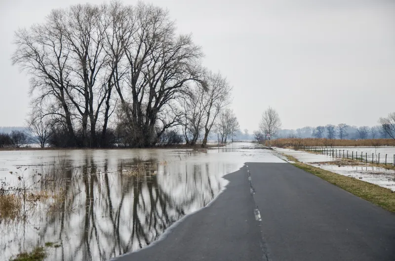
ATS says the cloud-based system uses its ultrasonic sensor, existing infrastructure/sensors and other external data sets to detect rising water levels in flood-prone areas.

The multi-channel notification system can suggest alternative routes to drivers using variable message boards at key intersections, direct traffic flow to minimise congestion caused by flooded roadways and notify appropriate staff when water levels at each location approach flood stage. It can also push data automatically to messaging on signage, turn on warning beacons and websites and social media networks.

FloodAlert is managed in the ATS TraffiCloud remote management system and hosted on Microsoft Azure.

Related Content

  • October 22, 2014
    Bespoke ITS is helping to reduced collisions on America’s rural roads
    David Crawford cherrypicks conference and award highlights Almost 30% of all US citizens live in rural areas or very small communities, and 34 of the 50 states exceed this level in their own populations, with the proportions rising as high as 85%. And although rural routes carry only 35% of all traffic, the accidents that occur on them account for some 54% of all US road traffic accident deaths.
  • May 2, 2017
    Iteris launches VantageLive! to collect, process and analyse intersection data
    Iteris has launched the latest addition to its Vantage roadway sensors product range, VantageLive!, a cloud-based transportation analytics service that allows users to view intersection activity by automatically collecting and analysing vehicle, bicycle and pedestrian data on a continuous basis, with data availability 24/7/365 from their existing Iteris detection infrastructure. By accessing connected intersection systems within an agency’s network, VantageLive! collects data provided from Iteris Vantage p
  • March 14, 2012
    Bridging the highway travel information gap
    A new traffic management solution is attempting to bridge the gap in information available on freeways and arterial roadways. Andrew Bardin Williams reports. Agencies responsible for national networks of roads around the world have the ability to measure, analyse and disseminate accurate travel information to drivers. Millions of dollars go into data collection infrastructure to collect traffic congestion and travel time information on major freeways or highways. For example, a driver on the I-210 in the Lo
  • July 15, 2024
    Triplesign shines with low-power solution
    Product is particularly suited to addressing growing issue of flooded road sections