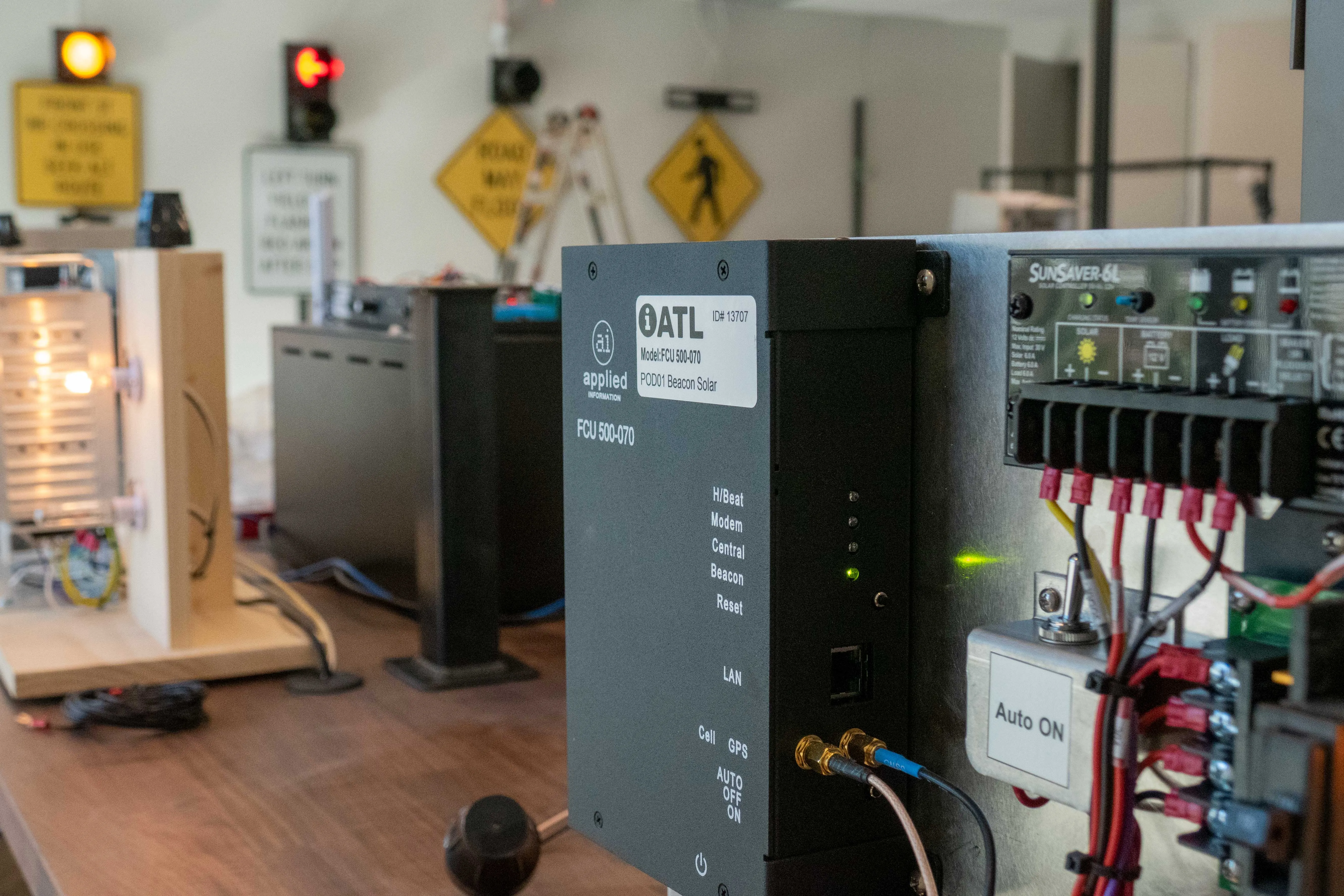
Applied’s Glance Smart Cities Supervisory technology will be used at 23 intersections along Atlanta’s Campbellton Road Smart Corridor.
The initiative, which also involves system integrator
Applied president Bryan Mulligan said: “Now the travel time for buses can be less than cars, which makes taking the bus more attractive than driving.”
The solution uses cellular, radio transmission and GPS technology to monitor the location and status of vehicles and intersections.
Motorists will have access to a smartphone app called TravelSafely, which provides red light running warnings, and 'Get Ready for Green' alerts which are triggered before traffic lights turn green.
Applied Information to implement bus transit priority system in Atlanta
Applied Information is to provide traffic signal priority for Metropolitan Atlanta Rapid Transit Authority (MARTA) buses in a bid to make bus transit faster than car journeys in the city.
Applied’s Glance Smart Cities Supervisory technology will be used at 23 intersections along Atlanta’s Campbellton Road Smart Corridor.
The initiative, which also involves system integrator Temple, will be implemented between the Oakland City MARTA station and I-285 – an interstate loop which encircles Atlanta – and
Applied Information is to provide traffic signal priority for 4162 Metropolitan Atlanta Rapid Transit Authority (MARTA) buses in a bid to make bus transit faster than car journeys in the city.