
Amsterdam to ‘test’ car ban on major route

Arterial road Weesperstraat will be ‘cut’ from next March in eight-week pilot
By Adam Hill November 30, 2020 Read time: 2 mins
Amsterdam wants more space for bikes and pedestrians (© Yunuli123 | Dreamstime.com)

The city of Amsterdam is to temporarily ban cars from one of its busiest roads next spring.

The eight-week pilot scheme will see through car traffic stopped along Weesperstraat from 15 March to 9 May 2021.

Emergency services, public transport, cyclists and pedestrians will be able to use the road as normal.

The trial is part of the Agenda Amsterdam Autoluw,  adopted by the city council last January, and the authorities say they want to see what effect the measure will have on air quality, congestion and quality of life.

Cities all over the world have taken the Covid-19 pandemic as an opportunity to repurpose their streets - for example, by narrowing routes to motor vehicles to allow space for dedicate cycle lanes.

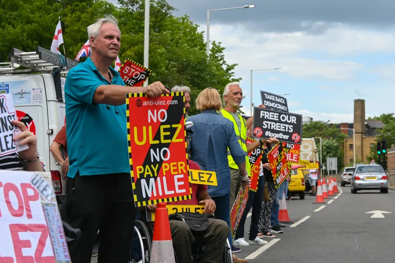
UK councils are currently conducting widespread experiments with road closures - to the chagrin of residents who complain that they simply divert traffic jams and pollution to other neighbourhoods.

The City of Amsterdam expects "positive consequences" from the Weesperstraat closure between Nieuwe Keizersgracht and Nieuwe Herengracht. 

But it warns: "Traffic has to get used to the new traffic situation at least in the first week(s). In the beginning, this may affect traffic flow on other major access roads."

It will therefore "measure and monitor the traffic intensity in a wide area around the closures" and is also making some nearby closures to stop drivers seeking alternative routes through narrow streets.

After the pilot, cars will be allowed access as before.

But the council says it wants "more living space and cleaner air" as well as "more space for cyclists, pedestrians and public transport". 

"The car therefore has to give up space, but we do want to keep the city accessible," it concludes.

For more information on companies in this article

Related Content

  • ULEZ: London’s burning issue
    November 3, 2023
    Many Londoners lost their cool during the city’s massive, late-summer ULEZ expansion. Will it be worth the pain and what can other cities learn from it? Andrew Stone assesses the story so far…
  • Data holds the key to combating VRU casualties
    May 8, 2015
    Accident analysis software can help authorities identify common causes and make best use of their budgets, as Will Baron explains. More than 1.2 million people die on the world’s roads each year and according to the World Health Organisation, half of these are pedestrians and vulnerable road users (those whose vehicle does not have a protective shell, such as motorcyclists and cyclists). While much has been done to improve road safety and cut the number of deaths and serious injuries on our roads, a great d
  • Bluecity shows Lidar & AI capability
    March 31, 2022
    Bluecity’s high-resolution 3D Lidar sensor and AI perception software detect vehicles, bicycles and pedestrians with pinpoint accuracy in real time.
  • Temporary traffic monitoring with Bluetooth and wi-fi
    May 31, 2013
    David Crawford reviews developments in temporary ITS. Widespread take-up of technologies such as Bluetooth and wi-fi are encouraging the emergence of more sophisticated, while still cost effective, ITS responses to the traffic issues posed by temporary road situations such as work zones and special events. Andy Graham of traffic solutions specialists White Willow Consulting says: “A machine-to-machine radio link is far easier and cheaper than reading characters on a plate.” There can be other plusses. Tech