Seoul unveils smartphone application to show road situations

In South Korea's Seoul city, the city government has developed a smartphone application, called Seoul's Fast Ways, to show road conditions to users in real time.
March 13, 2012 Read time: 1 min
In South Korea's Seoul city, the city government has developed a smartphone application, called Seoul's Fast Ways, to show road conditions to users in real time. The free application will provide information for roads around Mt Nam, expressways in the city and the downtown area. The levels of road congestion will be shown in different colours, with updates available every one to five minutes, whereas information on road closure caused by construction, events or accidents will be shown instantly. The average speed of cars on the roads will be shown and video clips will be recorded via surveillance cameras. The smartphone application can be downloaded by iPhone and Android users from App Store and Android Market for free.

Related Content

  • March 16, 2012
    Google maps the future of traffic and travel information?
    Will the relentless growth of Google lead to it becoming the ultimate provider of travel information services? Huw Williams investigates Google’s strategy and David Crawford discovers what two principal rivals are doing to keep pace. In the first weeks of 2012 one company staked two divergent claims on the future of transport. One is the science fiction of only a decade ago, turned into reality: the driverless car. The other seems more prosaic, yet in its own way is just as significant a marker of the futur
  • July 9, 2024
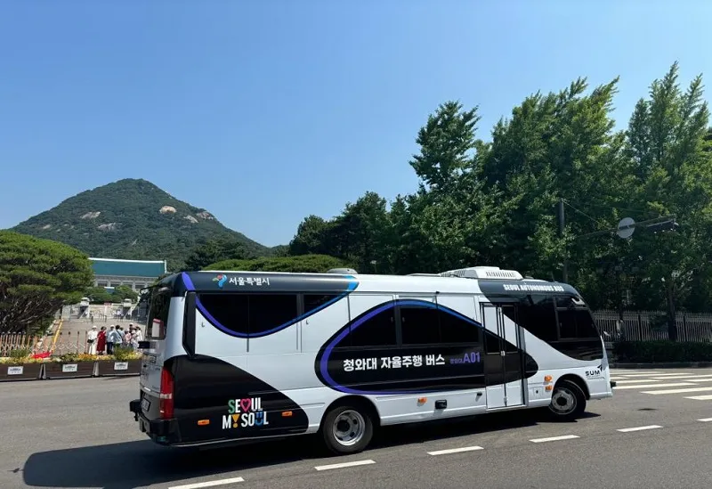
    Seoul adds autonomous bus to city's public transportation network
    Following 11-month pilot, it will run on a 2.6km route in Korean capital
  • August 22, 2014
    Airbiquity adds Inrix and Parkopedia to its connected car content
    US-based connected car services supplier, Airbiquity is to integrate two industry-leading geo-aware content providers into its Choreo connected car services delivery platform, making Inrix’s traffic information and driver services and the parking information services of Parkopedia available to Airbiquity’s automotive OEM customers deploying the its Driver Experience infotainment service. Leveraging the Airbiquity content portfolio, automotive OEMs can now easily configure both INRIX traffic and Parkopedia p
  • August 18, 2015
    Inrix aids authorities in dealing with data
    New traffic data products and services have been launched to aid transport and urban planners and business with detailed intelligence on journey patterns, reports Jon Masters. Manual travel surveys ought soon to become a thing of the past for transport planners and the business community. The technology now exists for getting sophisticated levels of traffic and trip data from connected vehicles. Cars and commercial fleets carrying a GPS device, or a mobile phone or smartphone are the sources of the informat