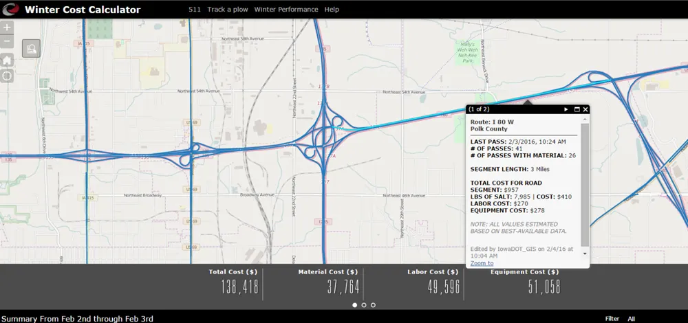
As part of its ongoing efforts to bring real-time traveller information to New Hampshire motorists, the New Hampshire Department of Transportation (NHDOT) has partnered with TrafficLand, a Virginia-based company, to provide real-time viewing access to the NHDOT's highway cameras. The public can now view traffic and road conditions from NHDOT cameras in ten regions of the state via the TrafficLand website, www.Trafficland.com. The camera locations are tied to interactive Google maps, which display travel sp
January 3, 2013
Read time: 2 mins
As part of its ongoing efforts to bring real-time traveller information to New Hampshire motorists, the 7053 New Hampshire Department of Transportation (NHDOT) has partnered with 1964 TrafficLand, a Virginia-based company, to provide real-time viewing access to the NHDOT's highway cameras. The public can now view traffic and road conditions from NHDOT cameras in ten regions of the state via the TrafficLand website.
The camera locations are tied to interactive Google maps, which display travel speeds over the road corridors as colour-coded lines, so the viewers can quickly determine where a traffic slow down may be occurring, and bring up real-time video from nearby cameras to confirm travel conditions. Green equals normal speeds, yellow indicates that traffic is slowing down, and red can mean there is slowed or stopped traffic. The ability to see several cameras along a corridor will now give travellers real-time views of what is happening on particular roadways, allowing them to plan their travel routes and times accordingly.
"We are very pleased to have this opportunity to work with NHDOT and to help the citizens of New Hampshire make more informed travel decisions" said TrafficLand founder and president Lawrence Nelson. "Our DOT partners recognise the importance of reliable access to real time traffic video, particularly during extreme weather and other emergency events."


