Dangerous Slowdowns is part of the new Inrix Safety Alerts product suite which also includes Inrix Incidents and Inrix Road Weather, to provide real-time insight on roadways to inform drivers and make roadways safer.
The Safety Alerts product suite collects real-time data from vehicles and range of other sources to help drivers around the world avoid sudden stops, accidents and hazardous road condition, and aids transportation agencies in managing their road networks.
Inrix Dangerous Slowdowns is a service in Inrix XD Traffic that helps prevent back-of-queue, rear-end collisions. Based on real-time data from vehicles on the road, the location-based notifications warn drivers and transportation agencies of sudden reductions in speed or stopped traffic on the roadway.
Inrix Incidents uses more than 400 data sources to keep drivers and transportation planners informed about congestion, accidents and construction on the road.
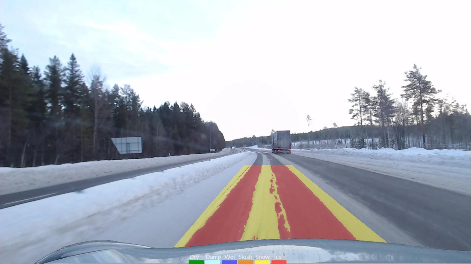
INRIX Road Weather uses real-time and predictive atmospheric data to give drivers and transportation officials advance warning of dangerous weather-related road conditions tied to individual road segments, providing information about the roads themselves, including the type of precipitation, surface condition and visibility.
Iowa DOT to use new Inrix Safety Alerts to help prevent rear-end collisions
Iowa Department of Transportation (DOT) has renewed its traffic data services contract with Inrix and will also employ Inrix Dangerous Slowdowns, a newly launched service that warns drivers and DOTs of sudden reductions in speed or stopped traffic on the road. Dangerous Slowdowns is part of the new Inrix Safety Alerts product suite which also includes Inrix Incidents and Inrix Road Weather, to provide real-time insight on roadways to inform drivers and make roadways safer. The Safety Alerts product suite co
May 3, 2017
Read time: 2 mins


