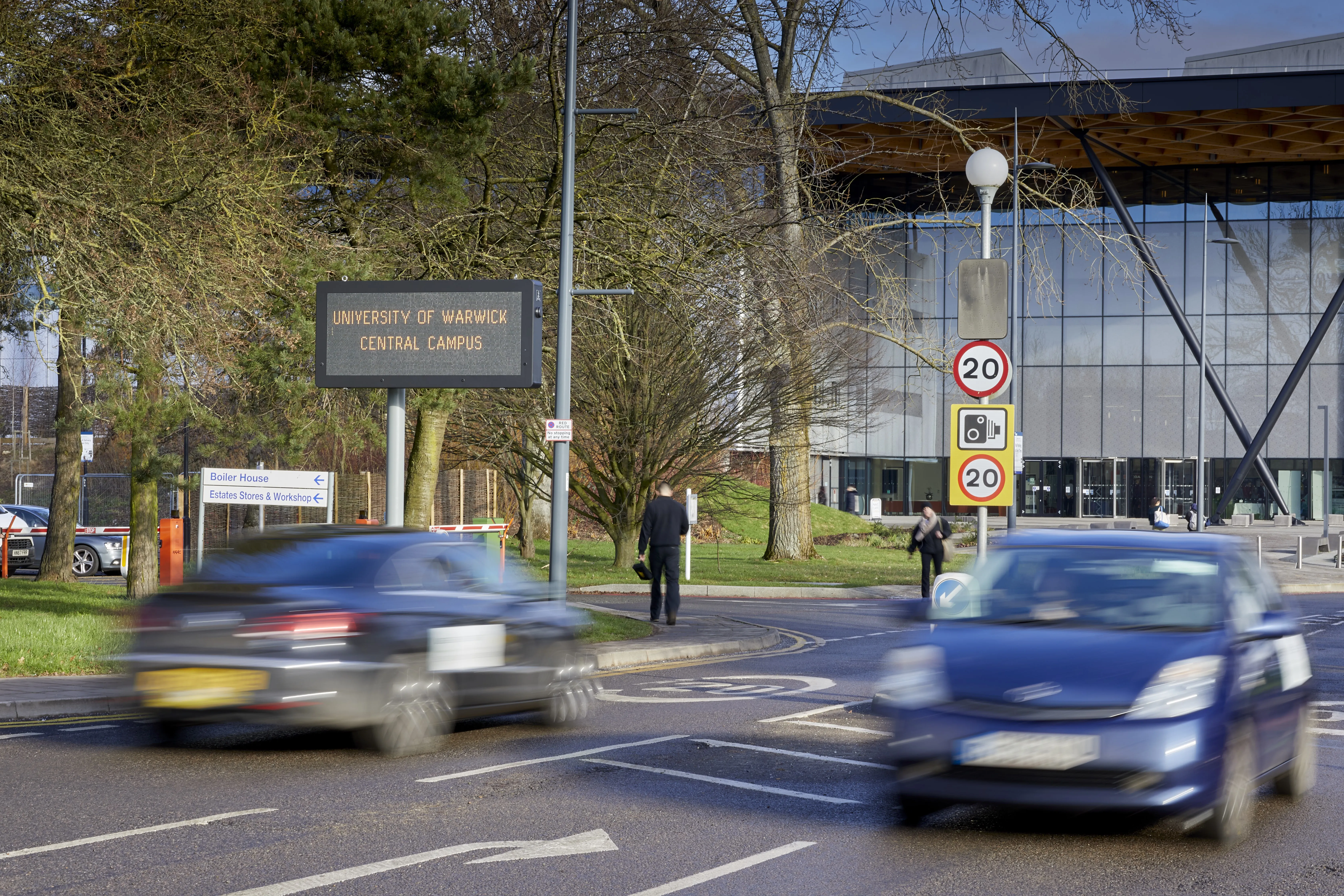
Transport for Greater Manchester has installed variable message signs (VMS) on some of the city’s busiest roads to provide motorists with live traffic information.
Eight VMS are now fully operational on roads across the region, displaying live journey time estimates and details of road traffic incidents and disruption. A further 19 signs are expected to be operational by the end of March 2015.
Each sign is carefully located near to a key decision point, such as the intersection of a main route, a park
January 27, 2015
Read time: 2 mins
Eight VMS are now fully operational on roads across the region, displaying live journey time estimates and details of road traffic incidents and disruption. A further 19 signs are expected to be operational by the end of March 2015.
Each sign is carefully located near to a key decision point, such as the intersection of a main route, a park and ride site, a major train station, an interchange or a public transport stop. The locations were carefully chosen in consultation with local authorities, taking into account factors such as speed limits and distances from the decision points. This was done to allow plenty of time for road users to process the information displayed, decide on the best course of action, and make their intervention in a timely and safe manner.
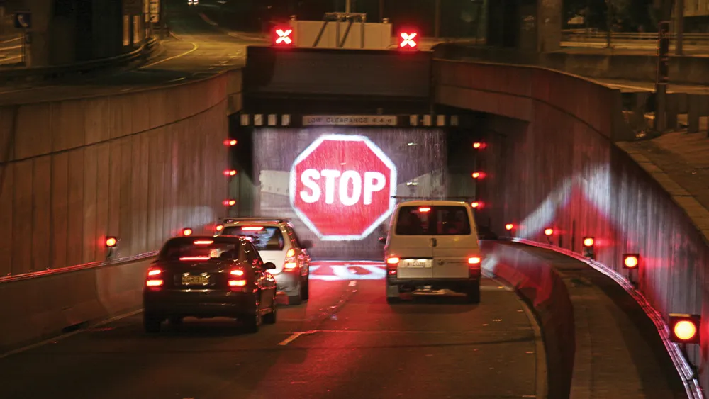
The full colour matrix signs can display both text and graphics, such as standard road sign symbols, and are linked directly to the state-of-the-art urban traffic control room at Transport for Greater Manchester’s headquarters.
The aim is to develop the system using the link and allow it, in the long-term, to provide information such as live diversions, comparisons between public transport journey times and cycling data. The overarching objective, other than to provide real time information, is to give all road users an informed choice to meet their travel needs.
The signs are also able to display photographs and live stream footage, which will future-proof them should the current legislation change.


