Instant messaging for Manchester’s motorists

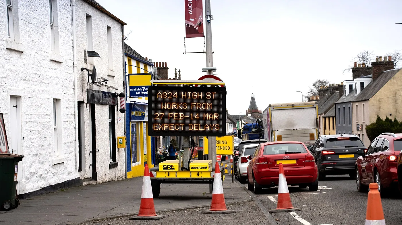
Transport for Greater Manchester has installed variable message signs (VMS) on some of the city’s busiest roads to provide motorists with live traffic information. Eight VMS are now fully operational on roads across the region, displaying live journey time estimates and details of road traffic incidents and disruption. A further 19 signs are expected to be operational by the end of March 2015. Each sign is carefully located near to a key decision point, such as the intersection of a main route, a park
January 27, 2015 Read time: 2 mins
817 Transport for Greater Manchester has installed variable message signs (VMS) on some of the city’s busiest roads to provide motorists with live traffic information.

Eight VMS are now fully operational on roads across the region, displaying live journey time estimates and details of road traffic incidents and disruption. A further 19 signs are expected to be operational by the end of March 2015.

Each sign is carefully located near to a key decision point, such as the intersection of a main route, a park and ride site, a major train station, an interchange or a public transport stop. The locations were carefully chosen in consultation with local authorities, taking into account factors such as speed limits and distances from the decision points. This was done to allow plenty of time for road users to process the information displayed, decide on the best course of action, and make their intervention in a timely and safe manner.

The full colour matrix signs can display both text and graphics, such as standard road sign symbols, and are linked directly to the state-of-the-art urban traffic control room at Transport for Greater Manchester’s headquarters.

The aim is to develop the system using the link and allow it, in the long-term, to provide information such as live diversions, comparisons between public transport journey times and cycling data. The overarching objective, other than to provide real time information, is to give all road users an informed choice to meet their travel needs.

The signs are also able to display photographs and live stream footage, which will future-proof them should the current legislation change.

For more information on companies in this article

Related Content

  • SRL is on-message with Swarco
    June 13, 2022
    SRL will be showing Swarco’s Sign Manager software at the upcoming Traffex show
  • UK railways to benefit from information upgrade
    January 3, 2013
    More than US$13.44 million funding will be spent by train companies to boost passenger information at stations across the UK. The funding will pay for a national roll-out to link customer information screens at stations to the latest live real time train information data, fed from a database developed and maintained by train companies. The upgrade will be rolled out in around 2,000 National Rail stations. The first stations will be switched on in summer 2014 and the whole project is anticipated to be comp
  • Upgrades to public transport across Regional Victoria
    March 10, 2017
    The Victorian government in Australia has released a tender for its Road and Rail Minor Works Program, which aims to deliver new car parks, more comfortable waiting areas and better passenger information at train stations across rural and regional Victoria. It also aims to improve cycling infrastructure at stations with new, secure bike cages and hoops to make it easier to ride to the station and catch the train. The US$17 million (AU$22.5 million) program will also upgrade bus stops, signage and acce
  • EarthCam construction camera software
    February 2, 2012
    EarthCam has introduced its new Control Center 7 software designed to provide project managers with smart access to remote webcam technology advances, including streaming HD widescreen with visual charting of essential system performance details. The software provides visually dynamic real-time views of essential solar and wireless system performance, current weather and forecasts. Technical details of wireless connectivity, solar power parameters, fuel cell data, camera location and other critical performa