In a unique collaboration, Volvo Cars, protective gravity sports gear manufacturer POC and communications technology specialist Ericsson is to demonstrate an innovative safety technology connecting drivers and cyclists for the first time ever at CES in Las Vegas, 6-9 January 2015.
In a unique collaboration, 7192 Volvo Cars, protective gravity sports gear manufacturer POC and communications technology specialist 5650 Ericsson is to demonstrate an innovative safety technology connecting drivers and cyclists for the first time ever at CES in Las Vegas, 6-9 January 2015.
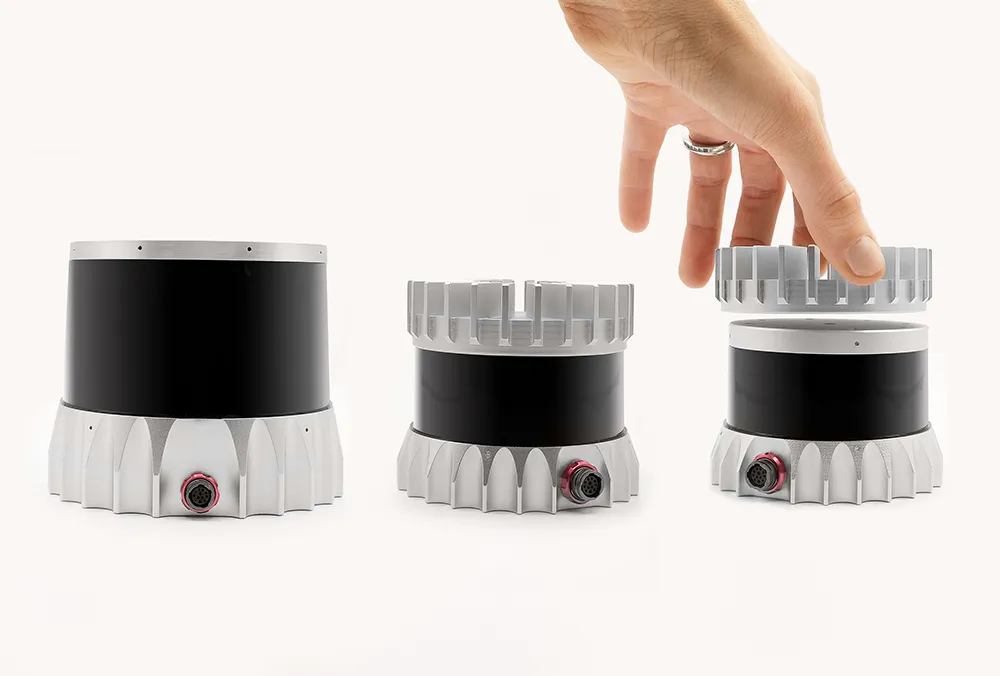
The technology consists of a connected car and helmet prototype that will establish two-way communication offering proximity alerts to Volvo car drivers and cyclists to help avoid accidents.
Using a popular smartphone app for cyclists, such as Strava, the cyclist's position can be shared through the Volvo Cars cloud to the car and vice versa. If an imminent collision is calculated, both car driver and cyclist will be warned and enabled to take action to avoid a potential accident.
The Volvo driver will be alerted to a cyclist nearby through a head-up display alert, even if he happens to be in a blind spot, behind a bend or another vehicle or hardly visible during night time. The cyclist will be warned via a helmet-mounted alert light.