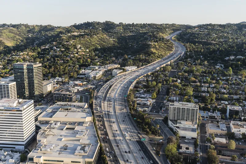
By integrating the company’s ROVR tracking system into its TransSuite advanced traffic management system (ATMS), TransCore brings the ease of fleet vehicle tracking to departments of transportation (DOT), enabling them to efficiently manage their construction, maintenance, snow ploughs, and safety vehicles in real time, easily identifying their location in the TransSuite ATMS map application and responding faster to roadway incidents. Additional GPS data can provide vehicle information for travel time calcu
March 27, 2013
Read time: 2 mins
By integrating the company’s ROVR tracking system into its TransSuite advanced traffic management system (ATMS), 139 Transcore brings the ease of fleet vehicle tracking to departments of transportation (DOT), enabling them to efficiently manage their construction, maintenance, snow ploughs, and safety vehicles in real time, easily identifying their location in the TransSuite ATMS map application and responding faster to roadway incidents. Additional GPS data can provide vehicle information for travel time calculations.
ROVR uses both GPS and GSM communications, and compact, easy-to-use device is quickly plugged into OBD port located under the dashboard, near the steering column on every car built since 1996. A wired installation is also available if required.
“Most departments of transportation have fleets with 50-1,000 vehicles,” explains Scott Brosi, TransCore vice president. “By integrating fleet monitoring technology with traffic management systems, we can offer authorities a tremendous tool to better utilise their maintenance, construction and safety services right within their trusted traffic management system. TransCore has even outfitted its entire 600-vehicle fleet with ROVR and has documented significant fuel savings.”
ROVR also incorporates a means of improving driving habits that affect safety, fuel economy and air quality, by logging events such as speeding, hard braking and rapid acceleration. These events are incorporated into a weekly scorecard that is emailed to the driver so they can see what driving behaviour they need to improve to increase their scores. The score also show supervisors which drivers need additional training.


