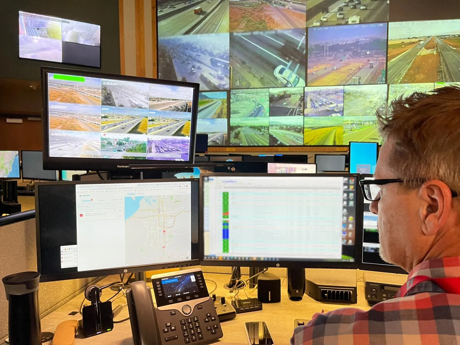
A connected vehicle project in the US state of Wyoming has developed an open-source application to allow third parties to monitor safety along the I-80 highway.
The Wyoming Department of Transportation (WYDoT) Connected Vehicle Pilot includes the deployment of 75 roadside units (RSUs) along 400 miles of I-80. WYDoT’s app allows authorised transportation management centre (TMC) operators to monitor and manage each RSU on the route – and can also be used to let the travelling public know what is happening.
Wyoming’s roads are characterised by lengthy drive times and harsh winter weather, so effective monitoring of RSUs – to ensure they are managed and updated as necessary - is vital.
The TMC part of the application, called Service Monitor Device Management, gives WYDoT TMC operators a “quick, real-time, single view into RSU status and management”. They can remotely manage each RSU and perform reboots, check and update firmware, view active traveller information messages (TIMs) and see how many connected vehicles have driven past in the last 24 hours.
WYDoT says that a new National Transportation Communications for Intelligent Transportation Systems Protocol standard (NTCIP 1218 v01, Object Definitions for RSUs) is currently in development and will define the protocols for configuring, operating and maintaining RSUs from a TMC.
There is also a view-only mode, which allows users to view specific stretches of I-80, seeing how TIMs are being pushed out to RSUs and how many vehicles are receiving the messages.
Wyoming develops open-source RSU monitoring app
A connected vehicle project in the US state of Wyoming has developed an open-source application to allow third parties to monitor safety along the I-80 highway.
The Wyoming Department of Transportation (WYDoT) Connected Vehicle Pilot includes the deployment of 75 roadside units (RSUs) along 400 miles of I-80. WYDoT’s app allows authorised transportation management centre (TMC) operators to monitor and manage each RSU on the route – and can also be used to let the travelling public know what is happening.
September 16, 2019
Read time: 2 mins


