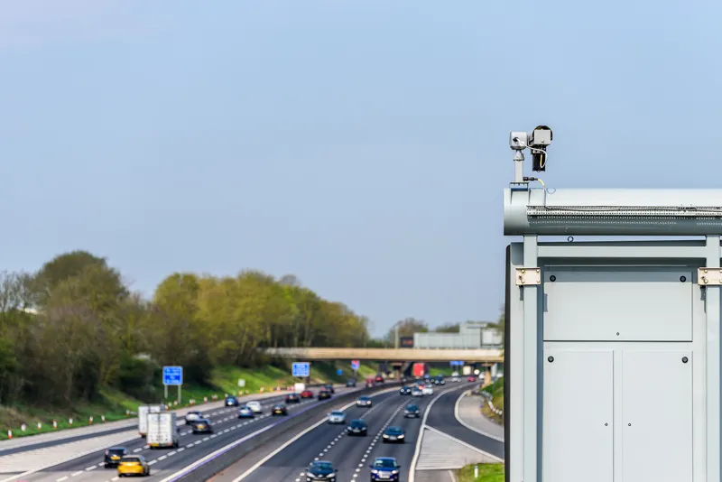
Siemens’ Sapphire journey time measurement system for traffic monitoring using Bluetooth technology is being installed on three main corridors into the centre of Coventry as part of a new UK project to assess how connected vehicles interact on key corridors leading into the city centre from the national road network.
Led by Coventry City Council, the intelligent variable message systems (iVMS) project will draw expertise from Coventry University’s Centre for Mobility and Transport in collaboration with
Led by Coventry City Council, the intelligent variable message systems (iVMS) project will draw expertise from Coventry University’s Centre for Mobility and Transport in collaboration with project partners HORIBA MIRA and Serious Games International (SGIL) to develop a real world connected car to infrastructure demonstrator in the West Midlands. The project began in January 2016 and is planned to end in 2018.
Many of the signalised junctions on two roads in the city and the A444 are also being upgraded by Siemens to be controlled via SCOOT and MOVA along the major corridors into Coventry to help minimise delays and further improve traffic flow. Siemens’ hosted traffic management system, Stratos, will be used to manage the data flow and send enhanced traffic data to the mobile application. Network operators will have more control of the routing information provided to commuters as the system will manage the expected traffic loads on the network.
The project will enable commuters to use a mobile phone application to plan their daily commute and be incentivised to travel at the most sustainable times. The app will seek to provide advice on when commuters should start their journey in order to avoid congestion or increase journey time reliability, as well as providing live in-journey information to give advice on the most appropriate route.
In addition, SGIL will ‘gamify’ the app, enabling the creation of an online community which can travel at the most suitable times, scoring virtual points for different sustainable driving traits such as driving style, route choices and journey times.