
£5m to ensure drones fly at Altitude

Telecoms giant BT invests in software and infrastructure provider Altitude Angels
By Adam Hill January 13, 2023 Read time: 2 mins
Project Skyway is set to be the largest and longest network of its kind in the world (© Goinyk Volodymyr | Dreamstime.com)

UK telecoms provider BT is behind a £5m deal to scale up the country's drone industry.

Etc., the incubation team in BT Group’s Digital unit, is partnering with Altitude Angel, which provides software and infrastructure to allow drones to fly safely, without a pilot, over large distances.

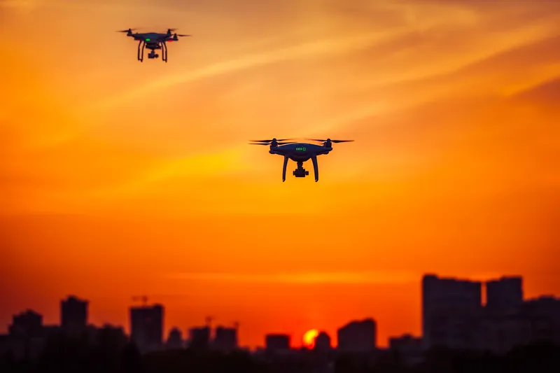
The idea is to support the development of the UK’s drone superhighway - Project Skyway - set to be the largest and longest network of its kind in the world.

The cash will accelerate the roll-out of Altitude Angel’s Arrow technology, which detects and identifies drones, while also enabling drones to share airspace with crewed aviation safely and securely.

Arrow helps to create a 165-mile drone corridor spanning airspace above Reading, Oxford, Milton Keynes, Cambridge, Coventry, and Rugby - put the plan is grow this to thousands of miles of Skyway infrastructure connecting towns and cities as well as transport and package delivery hubs.

BT will provide connectivity and network infrastructure and maintain Altitude Angel’s Arrow tower network. 

Richard Parker, CEO and founder, Altitude Angel says: "This will provide the UK with the first nationwide drone superhighways, unlocking the potential of this new and innovative technology and revolutionising business operations in countless industries.”

BT and Altitude Angel were involved together in an earlier programme, Project Xcelerate, and Skyway is backed by the UK government’s Future Flight programme.

For more information on companies in this article

Related Content

  • Visa and the power of mass transit transactions
    April 22, 2020
    Contactless payment is the hidden power behind efficient public transportation. Visa’s Ana Reiley tells Adam Hill why buying a latte should be a model for frictionless ticketing 
  • Do satellites provide a heavenly view of tolling’s future?
    December 16, 2014
    Satellite-based tolling opens up new options for authorities and can be integrated with DSRC systems as David Crawford discovers. As the proud custodian of the European Union (EU)’s longest road network covered by a single (truck) charging scheme – and the only one to include all major roads - Slovakia has become the continent’s poster-nation for the virtues of GNSS/CN (Global Navigation Satellite System/Cellular Network)-based tolling. It is also proved to be a very fast implementer. Speaking at the 2014 I
  • European Truck Platooning Challenge gets under way
    April 6, 2016
    Something huge in the field of connected vehicle technology and automated driving, which is grabbing headlines around the world, will arrive here at Intertraffic Amsterdam later today. Dirk-Jan de Bruijn, programme director of the European Truck Platooning Challenge 2016, sets the scene and looks to the future.
  • Growth in commercial drones to bring multiple benefits but also new risks
    September 20, 2016
    A new report from aviation insurer Allianz Global Corporate & Specialty (AGCS), Rise of the Drones: Managing the Unique Risks Associated with Unmanned Aircraft Systems, indicates that numbers of unmanned aircraft systems (UAS) to surge as they become smaller and cheaper. Whether used commercially for industrial inspections, aerial photography, border patrol, emergency deliveries and crop surveys or recreationally by millions, drones or unmanned aircraft systems (UAS) have the potential to become a multi-