
New York trials Savari’s V2P app 

The New York City Department of Transportation (DoT) is trialling Savari’s SmartCross Vehicle to Pedestrian (V2P) app in the NYC Connected Vehicle Project – For Safer Transportation. 
By Ben Spencer January 22, 2020 Read time: 1 min
New York City street crossing on Park Ave (Picture credit: ID 56177825 © Edytamlaw | Dreamstime.com)

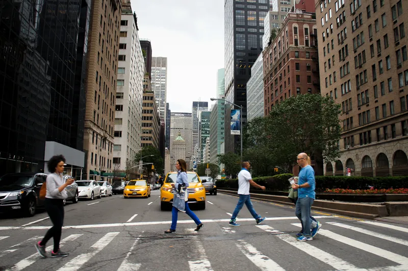
Savari and the USDoT developed the app to help people with impairments use pedestrian crossings more confidently by providing relevant information to drivers and pedestrians.

The tech company says its app and cloud software are integrated into traffic management systems and provide information on intersection geometry and traffic light status to pedestrians who may otherwise be distracted. The technology can also alert Vehicle to Everything-enabled vehicles of potential conflict with pedestrian movements, Savari adds. 

The connected vehicle project is focused on safety applications that rely on mobility or V2P, Vehicle to Vehicle and Vehicle to Infrastructure communications.


For more information on companies in this article

Related Content

  • CRASH Predicts ‘unpredictable’ in traffic incidents
    November 11, 2015
    Road crashes are not as random as they may appear and analysing data can reveal patterns that can help various authorities target their resources more accurately. David Crawford reports. Figures from the US National Highway Traffic Safety Administration (NHTSA) show that in 2013 there were 32,719 people killed on American roads and 2.31 million injured. While these form part of an overall 25% drop over the decade from 2004, US Transportation Secretary Anthony Foxx continues to stress that reaching the procl
  • Miovision puts safety at Core
    November 7, 2022
    Approval of intersection platform for FirstNet gives emergency services more options
  • Cepton Lidars deployed in Austria
    February 26, 2021
    Partnership with local test alliance ALP.Lab will create real-life, complex traffic data
  • LiDAR sets its sights on future problems
    February 23, 2017
    AAdvances in LiDAR are helping transport authorities improve services and identify potential problem areas, as geospatial technology expert Dr Neil Slatcher explains. The effects of climate change on the transport infrastructure have long been a cause of concern within the transportation sector - and not only on the structures themselves but also on the surrounding areas. This year, those concerns have become reality with landslides, structural collapses and surfacing issues impacting services across the wo