A new app developed by transportation specialists Cross County Connection Transportation Management Association (CCCTMA), allows users to quickly check the real-time traffic conditions and view live traffic cameras, at intersections known for congestion in southern New Jersey. CCCTMA says the NJ Intersections app works on iPhone and Android-enabled devices with an easy-to-use interface that quickly shows you exactly what the traffic situation looks like at any selected intersection. Simply touching the scr
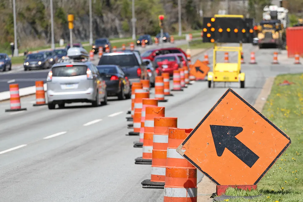
A new app developed by transportation specialists Cross County Connection Transportation Management Association (CCCTMA), allows users to quickly check the real-time traffic conditions and view live traffic cameras, at intersections known for congestion in southern New Jersey.
CCCTMA says the NJ Intersections app works on iPhone and1812 Android-enabled devices with an easy-to-use interface that quickly shows you exactly what the traffic situation looks like at any selected intersection. Simply touching the screen opens a map showing the live traffic conditions at that particular location and provides a link to the live traffic camera as well.
The free app features coverage of thirty-nine major intersections/interchanges in southern New Jersey as well as real-time traffic conditions and live traffic cameras for each location.
CCCTMA says the NJ Intersections app works on iPhone and
The free app features coverage of thirty-nine major intersections/interchanges in southern New Jersey as well as real-time traffic conditions and live traffic cameras for each location.