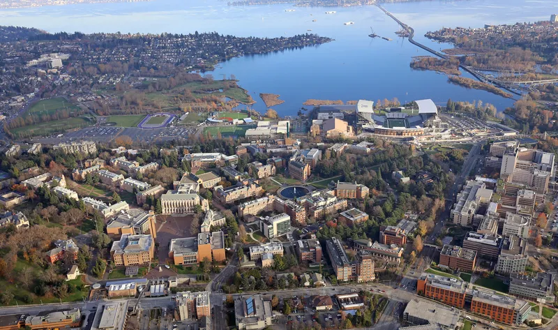
Ride hailing technology company Grab has partnered with Malaysia Digital Economy Corporation (MDEC) and the World Bank Group to launch the OpenTraffic initiative in Malaysia, which provides traffic data from Grab’s GPS data streams to address traffic congestion and improve road safety in major Malaysian cities.
OpenTraffic provides Malaysia’s traffic management agencies and city planners with access to an open dataset to better manage traffic flow and make investment decisions on local transport infrast
Ride hailing technology company Grab has partnered with Malaysia Digital Economy Corporation (MDEC) and the World Bank Group to launch the OpenTraffic initiative in Malaysia, which provides traffic data from Grab’s GPS data streams to address traffic congestion and improve road safety in major Malaysian cities.
OpenTraffic provides Malaysia’s traffic management agencies and city planners with access to an open dataset to better manage traffic flow and make investment decisions on local transport infrastructure.
Provided at no cost to governments via an open data licence, OpenTraffic translates Grab drivers’ GPS data into anonymised traffic data, to map traffic speeds on roads for analysing traffic congestion peak patterns and travel times. The platform is designed to assist traffic management agencies with easing traffic flows, particularly within dense urban areas. Local government agencies can use the data to enhance existing traffic management systems such as optimising traffic light control and coordination.