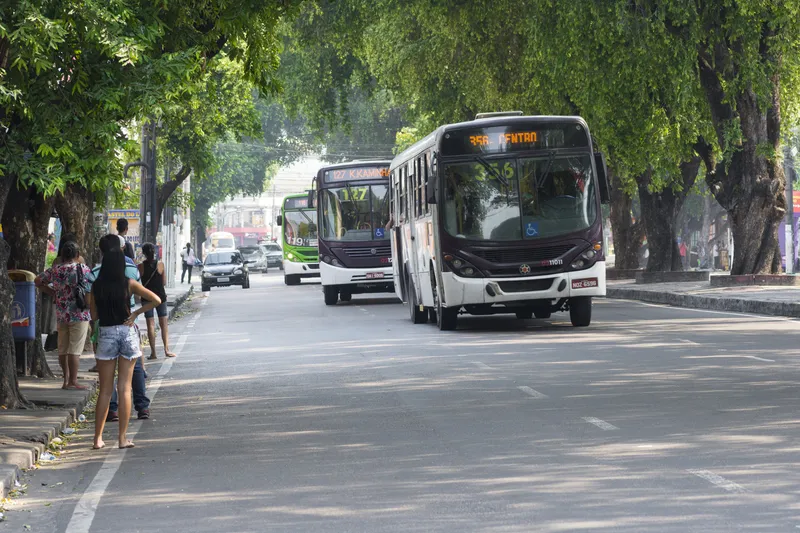
Passengers of Lothian Buses and Edinburgh Trams will be the first in Scotland to access real-time service information on Google Maps thanks to a partnership between Transport for Edinburgh and Google.
Google Maps on desktop and mobile now uses real-time predictions to deliver more accurate directions between any two places in Edinburgh, taking into account delays and diversions, with live updates from every bus and tram in the fleet.
Google Maps has an overview of where all buses and trams are on the
January 11, 2016
Read time: 2 mins
Passengers of Lothian Buses and Edinburgh Trams will be the first in Scotland to access real-time service information on Google Maps thanks to a partnership between Transport for Edinburgh and Google.
Google Maps on desktop and mobile now uses real-time predictions to deliver more accurate directions between any two places in Edinburgh, taking into account delays and diversions, with live updates from every bus and tram in the fleet.
Google Maps has an overview of where all buses and trams are on the network at any one time, and shows expected times of arrival together with relevant service delays. The same information is fully integrated with the Transport for Edinburgh app and the Lothian Buses and Edinburgh Trams websites.
Transport data specialists ITO World and the City of Edinburgh Council have also supported the initiative. As an agency for Google's public transit data, ITO provides data conversion and quality improvement services to help ensure public transport information in Google Maps is as consistently accurate as possible.
Jim McFarlane, chair of Lothian Buses said: “We appreciate just how important it is for our customers to have timely and accurate information and I’m delighted that we’ve been able to work with Google on being the first Scottish city to introduce this service. Along with our travel and mobile ticketing apps, and access to free wi-fi across our bus and tram network, this latest innovation underlines our commitment to harness technology that improves our customer service.
Mike Jacklin, commercial and delivery director at ITO World said: “We are excited to have partnered with Lothian Buses, the City of Edinburgh Council and Google to bring Edinburgh's real time information into Google Maps. Providing the travelling public access to accurate, reliable real time information from their mobile phones through applications such as Google Maps increases confidence in using public transport and improves their travel options.”


