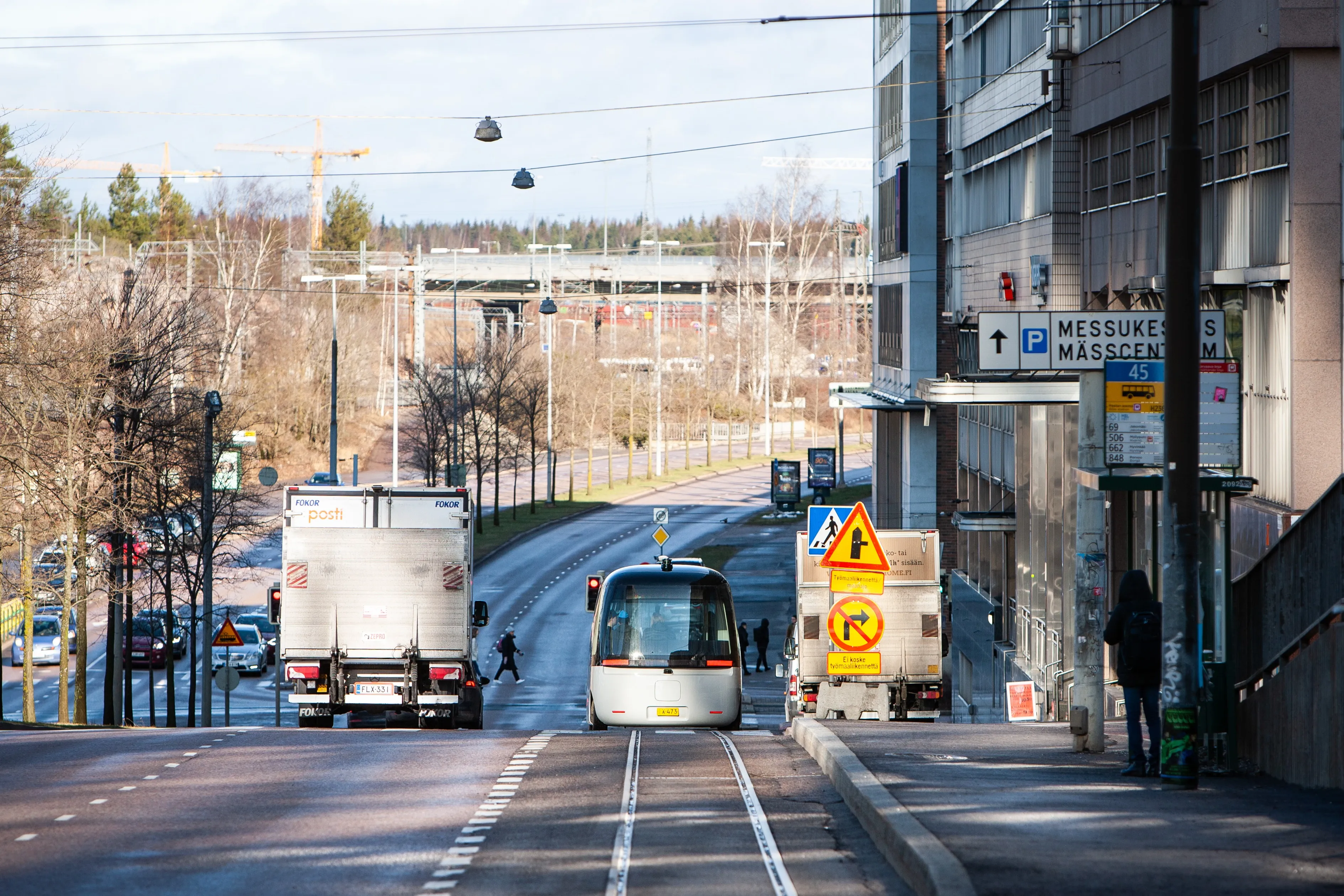
5G smart light poles extend from Nokia campus

A collaboration led by Nokia Bells is extending smart poles beyond the LuxTurrim5G project in the Finnish city of Espoo to a nearby residential area called Kera. The LuxTurrim5G project seeks to develop and demonstrate a fast 5G network based on smart light poles at Nokia’s campus. The new smart poles will support Sensible4’s autonomous bus Gatcha operating between this area and Kerra railway station. Juha Salmelin, LuxTurrim5G project coordinator from Nokia, says: “During the project, we have learned a
September 19, 2019 Read time: 2 mins

A collaboration led by 183 Nokia Bells is extending smart poles beyond the LuxTurrim5G project in the Finnish city of Espoo to a nearby residential area called Kera.

The LuxTurrim5G project seeks to develop and demonstrate a fast 5G network based on smart light poles at Nokia’s campus. The new smart poles will support Sensible4’s autonomous bus Gatcha operating between this area and Kerra railway station.

Juha Salmelin, LuxTurrim5G project coordinator from Nokia, says: “During the project, we have learned a lot about the digital city ecosystem that enables making urban operations more efficient and ensuring better and safer living conditions for the residents.”

Project partner 814 VTT Technical Research Centre says the smart light poles collect data on air quality, traffic and weather and share it on other applications via a joint service platform. The solution can also serve as a charging post for electric vehicles, the company adds.

VTT developed the 70 GHz backhaul and access point radios for the smart poles. Teleste, F.ex and 144 Vaisala provided the sensors, cameras and displays.

For more information on companies in this article

Related Content

  • ServCity AV project reaches final test
    February 20, 2023
    Three-year initiative in London has aimed to demonstrate practicalities of urban robotaxis
  • Fabulos robo-buses hit European streets
    June 5, 2020
    EU-backed AV scheme aims to solve urban first-/last-mile problems
  • Progress of ICT transport research projects
    February 3, 2012
    Juhani Jääskeläinen, head of the ICT for Transport Unit, DG Information Society and Media, European Commission, details the results of Call 4 for research projects in ICT for transport. Since the closure of the call and evaluation process during the summer of last year the European Commission (EC) has been negotiating and signing contracts with projects which were selected from proposals submitted to Call 4 of the 7th Framework Programme (FP7) in the area of Information and Communication Technology (ICT) fo
  • Ordnance Survey and Mobileye to deliver roadside infrastructure data in UK
    January 16, 2019
    National mapping agency Ordnance Survey (OS) has joined forces with Mobileye, an Intel company, to deliver high precision road network location data in the UK. OS’ geospatial and technology resources will be paired with Mobileye’s automotive camera-based mapping capabilities to offer a location information service. The partnership, unveiled at Consumer Electronics show 2019 in Las Vegas, also seeks to use the data to support the rollout of connected autonomous vehicles, intelligent mobility and 5G.