Iteris stands firm in face of Texas disaster

Company's vision expertise will be utilised in Fort Bend County emergency planning
By Adam Hill December 8, 2022 Read time: 2 mins
Cameras will monitor flood conditions (© Valentin M Armianu | Dreamstime.com)

Iteris is to be prime consultant for a multi-year contract to design and integrate network infrastructure at a Texas disaster management facility.

Fort Bend County’s new $9.3 million emergency operations centre is replete with disaster management and public safety technology.

It was built by the Fort Bend County Office of Homeland Security & Emergency Management to withstand hurricane winds and operate independently during an emergency if county utilities are cut off.

A new online dashboard will also give county residents live weather and road information, including road closures, water levels and evacuation information.

Iteris is tasked with integrating a minimum of 45 CCTV camera locations and the associated communication network.

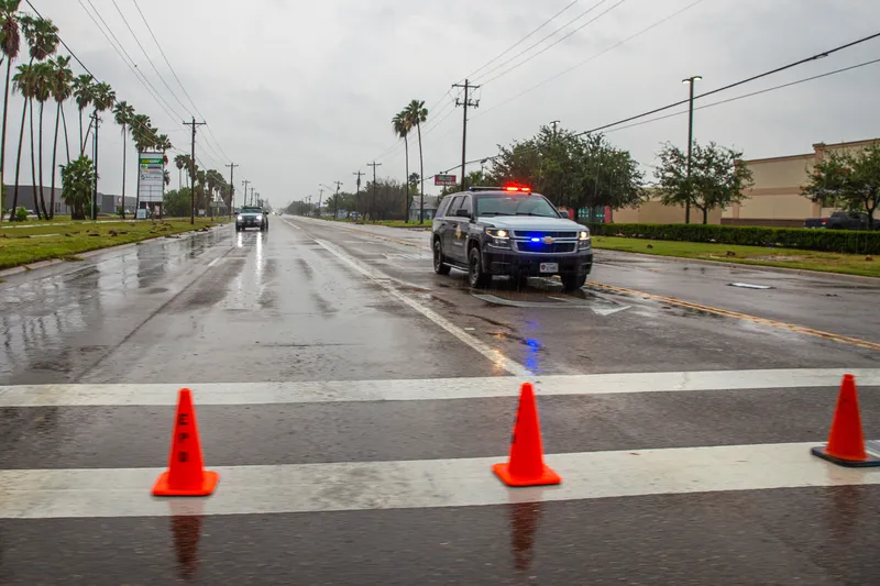
The cameras will monitor flood conditions around the nearby Brazos River and extensive levy system protecting Fort Bend neighbourhoods.

Phase one of the project involves design and integration of six CCTV sites, as a proof-of-concept, with phase two being the design and integration of the remaining 39 locations. The master contract also includes a five-year network maintenance agreement to manage and maintain the roadside devices.

“To date, there is no current network infrastructure completed on this building, so we are thrilled to make that happen,” said Cliff Heise, regional vice president consulting solutions at Iteris.

“This project and this very capable facility will facilitate informing Fort Bend County citizens during emergency events and maximizing their safety when threatening conditions develop.”

For more information on companies in this article

Related Content

  • Less travel aggravation to blunt Aggieland fans’ motivation
    June 17, 2016
    Returning travel times to normal within two hours of the end of a major football game was the challenge facing College Station, Adam Lyons explains how this was achieved. College Station, TX, also known as ‘Aggieland’, is located right in the middle of the Dallas/Fort Worth, San Antonio and Houston triangle making the city accessible to over 14 million Texans within less than a four-hour drive. One of the biggest draws to this area is Texas A&M University (TAMU) and the Aggie football games in the fall, mea
  • Illinois DoT and Cybrbase collaborate on lower-cost cybersecurity
    June 2, 2025
    Six of the state's smaller, rural transit agencies will take part in pilot project
  • FHWA aims to improve VRU safety with new traffic control manual
    December 21, 2023
    11th edition of MUTCD - the first in 14 years - reflects 'changes in how Americans travel'
  • Bangalore adopts GIS-based road infrastructure system
    June 6, 2014
    To support the unprecedented urban growth in Bangalore, India’s third most populous city with a population of over eight million, the Bruhat Bangalore Mahanagara Palike (BBMP) has adopted GIS to completely transform the way it manages its road network. Using GeoCivic Road Infrastructure Management, a solution by CyberTech, a partner of Esri, BBMP built a geo-enabled, transparent system that provides officials with information-rich dashboards for monitoring road activities across all wards and zones. The