
Iteris stands firm in face of Texas disaster

Company's vision expertise will be utilised in Fort Bend County emergency planning
By Adam Hill December 8, 2022 Read time: 2 mins
Cameras will monitor flood conditions (© Valentin M Armianu | Dreamstime.com)

Iteris is to be prime consultant for a multi-year contract to design and integrate network infrastructure at a Texas disaster management facility.

Fort Bend County’s new $9.3 million emergency operations centre is replete with disaster management and public safety technology.

It was built by the Fort Bend County Office of Homeland Security & Emergency Management to withstand hurricane winds and operate independently during an emergency if county utilities are cut off.

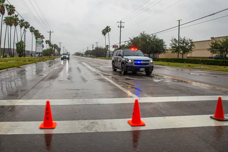
A new online dashboard will also give county residents live weather and road information, including road closures, water levels and evacuation information.

Iteris is tasked with integrating a minimum of 45 CCTV camera locations and the associated communication network.

The cameras will monitor flood conditions around the nearby Brazos River and extensive levy system protecting Fort Bend neighbourhoods.

Phase one of the project involves design and integration of six CCTV sites, as a proof-of-concept, with phase two being the design and integration of the remaining 39 locations. The master contract also includes a five-year network maintenance agreement to manage and maintain the roadside devices.

“To date, there is no current network infrastructure completed on this building, so we are thrilled to make that happen,” said Cliff Heise, regional vice president consulting solutions at Iteris.

“This project and this very capable facility will facilitate informing Fort Bend County citizens during emergency events and maximizing their safety when threatening conditions develop.”

For more information on companies in this article

Related Content

  • Advance warning of high water with Tapco’s BlinkerSign
    November 4, 2016
    Tapco’s BlinkerSign LED-enhanced solar traffic signs provide notification and awareness of closed roads, evacuation routes or dangerous driving conditions due to inclement weather.
  • TRC launches smart mobility advanced research and test centre
    January 27, 2017
    The US state of Ohio and the Ohio State University are funding the US$45 million Phase 1 expansion of the Transportation Research Center's (TRC) new 540-acre SMART (Smart Mobility Advanced Research and Test) Center. To to be built within the 4,500 acres of the TRC’s independent automotive testing facility and proving grounds, SMART aims to be a hub for testing of automated and autonomous vehicles, designed to enable car manufacturers and suppliers to expand their testing. Phase 1 of the expansion will in
  • ICE State of the Nation report ‘makes grim reading’ says expert
    June 27, 2014
    The UK’s Institution of Civil Engineers has issued its 2014 State of the Nation: Infrastructure report, which focuses on the performance, capacity and condition of the UK's key economic infrastructure networks. The report finds that the UK approach to delivering and maintaining infrastructure requires attention and recommends that progress made to date should be built upon to ensure that the UK possesses world class infrastructure. It also finds that three sectors – energy, flood management and local tra
  • Australia highway to receive smart tech 
    October 12, 2021
    Smart motorway tech will be installed between Pine River and Caloundra Road